What is recorded here
The old burial ground still holds a small central structure inside a bare thirty-metre circle on a gentle north-facing slope in County Meath. It lost its visible boundary and recognizable headstones before the 1910 map called it disused, yet the circle remains distinct enough to mark. People may have stopped bringing flowers, naming the dead or tending the grass, but the land kept its shape and the structure waited at the centre like a forgotten promise.
Situated on a gentle N-facing slope. A circular feature (diam. c. 25m) is marked faintly and described in italic lettering as an ‘Old Burial Ground’ on the 1836 ed. of the OS 6-inch map. It is marked as a hachured feature (dim. c. 30m) and described in italic lettering as a disused burial ground on the 1910 ed. A small structure (ME043-007----) is a at the centre of an unenclosed, grass-covered area (diam. c. 30m) with some stones but no recognizable headstones.
Compiled by: Michael Moore
Date of upload: 23 March, 2015
The monument record does not grant public access. Check the route and ask the landowner before entering private land.
- What survives
- Recorded monument
Places near here
 Old Burial GroundChurch · 8 yd
 Enclosure in ClonymeathEnclosure · 317 yd
 CastleCastle, motte · 512 yd
 Galtrim MoatCastle, motte · 1.1 mi
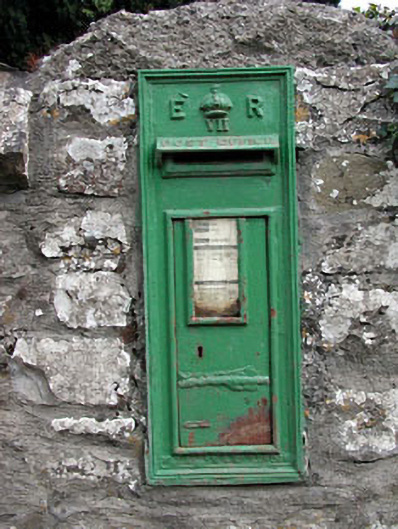 post boxpost box · 1.1 mi
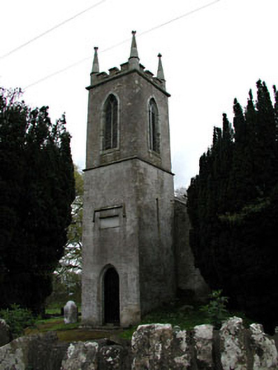 Saint Mary's Church (Galtrim)church/chapel · 1.1 mi
 European ashEuropean ash · 1.4 mi
 Saints IslandForest · 1.8 mi
 MullaghMountain / peak · 4.1 mi
 Larchil Arcadian GardensHeritage attraction · 4.4 mi
 Kilgar GardensHeritage attraction · 4.5 mi
 1798 MemorialMemorial · 4.9 mi