What is recorded here
Within a hillfort (GA015-016----). On 1st ed. of OS 6-inch map, two small hachured enclosures are depicted in the interior: (a - GA015-016001-) an unnamed oval enclosure (c. 50m by c. 35m) on the hill summit, and (b - GA015-016002-) a small circular enclosure (D c. 10m), named 'Burial Ground', in SE quadrant, directly inside the bank of the hilltop enclosure. However, by the time of 3rd ed. (1916), the latter has disappeared and the words are are now appended to (a). No visible surface trace of (b) survives but (a) comprises a roughly oval enclosure (E-W 40m, N-S 35m) defined by a stone wall with a narrow entrance at E. The interior rises steeply to a flat summit crowned with a solitary tree. Beside the latter are two inscribed graveslabs, one of which is dedicated to George Blake, and dated 1840. A number of other rough stone grave-markers are also visible, including two probable children's graves in NW quadrant. (Knox 1911a, 109; Raftery 1976, 89)
The above description is derived from the published 'Archaeological Inventory of County Galway Vol. II - North Galway'. Compiled by Olive Alcock, Kathy de hÓra and Paul Gosling (Dublin: Stationery Office, 1999). In certain instances the entries have been revised and updated in the light of recent research.
Date of upload: 13 December 2017
The monument record does not grant public access. Check the route and ask the landowner before entering private land.
- What survives
- Recorded monument
Places near here
 Hillfort in BelmontHillfort · 78 yd
 Monumental structure in BelmontMonumental structure · 339 yd
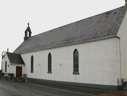 Saint Patrick's Catholic Churchchurch/chapel · 1.2 mi
 Quarry in BelmontQuarry · 1.5 mi
 Castle (in ruins)Castle, unclassified · 1.8 mi
 Bawn in BlindwellBawn · 2.5 mi
 European YewEuropean Yew · 4.5 mi
 Geoffrey's WoodForest · 4.9 mi
 Mass RockNamed rock · 6.4 mi
 Ross Errilly FriaryHeritage attraction · 11 mi
 Inis Mhic an TrírIsland · 14 mi
 Otter IslandIslet · 14 mi