What is recorded here
Doon Hill rises sixty-seven metres above the Errismore peninsula as a volcanic plug marked by a Napoleonic signal tower and a Second World War watch post. Fishermen still read its silhouette to guide vessels into Bunowen Pier, while the lost fort hidden beneath the grass keeps the old Irish name alive. The hill has watched castles rise, change owners and crumble, yet it remains the steady finger pointing home through Connemara seas.
On the summit of Doon Hill. Hardiman (1846, 108-9) notes the existence of an 'old fortress of a down [sic]', and Killanin (1954, 93) states that 'possible traces of a fosse' were visible on N side of the hill summit. No visible surface trace survives.
The above description is derived from the published 'Archaeological Inventory of County Galway Vol. I - West Galway'. Compiled by Paul Gosling (Dublin: Stationery Office, 1993).
Date of upload: 05 August 2010
The monument record does not grant public access. Check the route and ask the landowner before entering private land.
- What survives
- Recorded monument
Places near here
 Bunowen Castlecastle/fortified house · 60 yd
 Ballindoon Church (in ruins)Church · 252 yd
 Doon HillMountain / peak · 421 yd
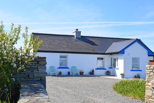 Bawn in Bunowen MoreBawn · 861 yd
 Calf IslandIslet · 1.2 mi
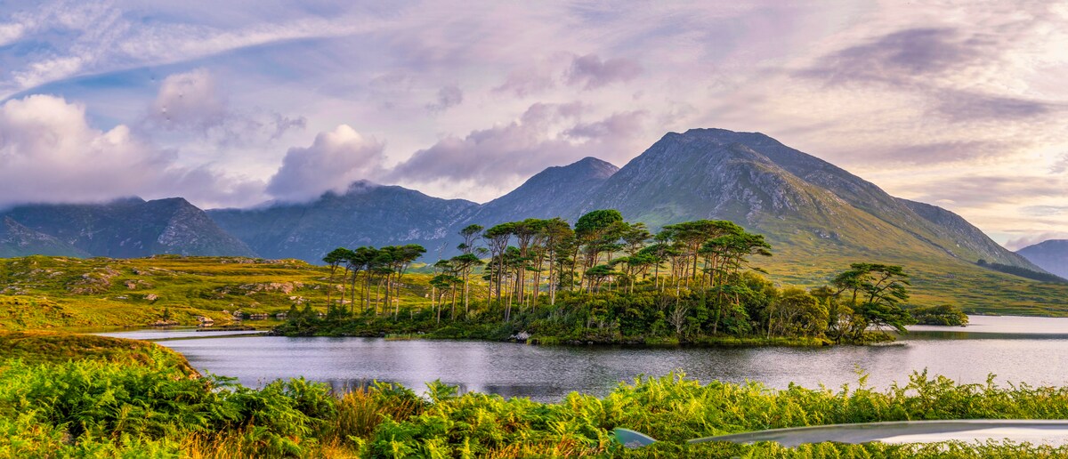 IllaunurraIslet · 1.7 mi
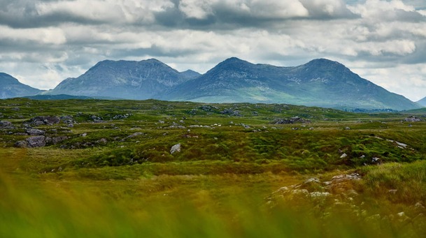 Holy well in DerrigimlaghHoly well · 1.8 mi
 Riding StableHeritage attraction · 2.1 mi
 Enclosure in TruskaEnclosure · 2.4 mi
 Mannin Bay Coral StrandBeach / strand · 2.7 mi
 Mannin BayBay · 2.8 mi
 Alcock and Brown Atlantic CrossingMemorial · 4.7 mi