What is recorded here
Situated in the north-western sector of an enclosure (MA084-001007-): the hut sits on the mass of stone that occupies most of the eastern half of the interior. However, it is also noticeably set into the line of the enclosure bank. The remains comprise a small reason- ably well-defined hollow, subcircular plan (dia. 2.1m, internally). Although its limits are unclear from ENE to S, it is delimited internally by a jumbled drystone stone wall/scarp from SW through W and N to ENE. This survives to two courses high (0.4m) in places and is composed of stones and slabs, some set on edge or at right angles to the wall face. A gap at SSW (Wth 0.65m) probably marks the entrance.
The above description is derived from: New Survey of Clare Island. Volume 5: Archaeology. Edited by Paul Gosling, Conleth Manning and John Waddell. (Royal Irish Academy, Dublin. 2007). In certain instances the entries have been revised and updated.
Date of upload: 29 November 2018
The monument record does not grant public access. Check the route and ask the landowner before entering private land.
- What survives
- Recorded monument
Places near here
 Enclosure in BunnamohaunEnclosure · 1 yd
 farm housefarm house · 1047 yd
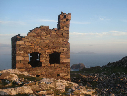 Shivel Head Signal Towersignal tower · 1204 yd
 Clare Island Signal TowerRuins · 1205 yd
 KnockmoreMountain / peak · 1.5 mi
 Clare IslandIsland · 2.1 mi
 ScalpatruceMountain / peak · 2.2 mi
 Granuaile's CastleCastle · 3.7 mi
 Caher IslandIsland · 5.1 mi
 Turloughbeg StrandBeach / strand · 6.0 mi
 Carrownisky BeachBeach / strand · 6.5 mi
 Kildavnet CastleCastle, tower house · 7.3 mi