What is recorded here
Bunnafinglas holds a leaning stone beside the River Moy, its triangular northern profile cutting the pasture like a forgotten knife. It stands only a short distance from a burial ground, suggesting the rock marked death, direction or boundary for people who no longer speak. Its sharp southward tilt refuses easy explanation, preserving a moment when human hands shaped the landscape before memory faded.
In pasture, located on level elevated ground bordered c. 150m to W by the River Moy, and overlooked 500m to SE by a ridge. An irregular-shaped upright block of stone (0.75m NNW–SSE; 0.64m ENE–WSW; H 1.35m), with a rectangular cross-section at its base. Seen in profile from W or E it appears roughly rectangular in shape with a somewhat rounded top, but viewed from N it has a distinctly triangular profile. It leans sharply to S. There is a burial ground (MA048-030----) is 40m to E.
Compiled by: Jane O’Shaughnessy
Date of upload: 10 January 2013
Dated to the Neolithic or Early Bronze Age, this standing stone may have functioned as a territorial marker, ritual focus, or astronomical alignment point. No specific folklore is recorded for the site.
The monument record does not grant public access. Check the route and ask the landowner before entering private land.
- What survives
- Recorded monument
Places near here
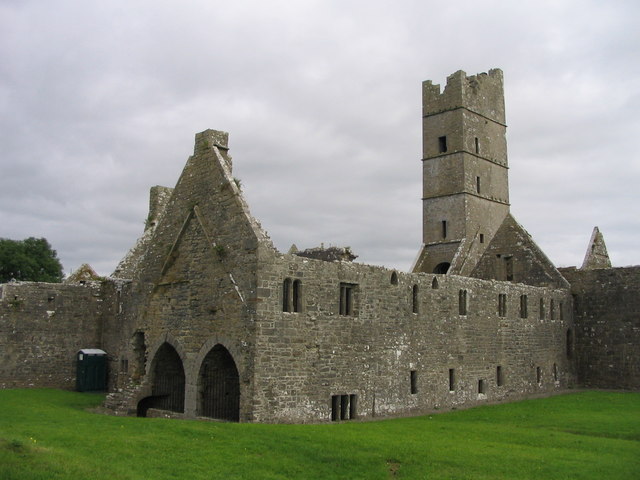
 Religious houseReligious house, unclassified · 162 yd
 Dermot & Grania's BedArchaeological place · 1167 yd
 IndicatedFairy fort / earthen ringfort · 1566 yd
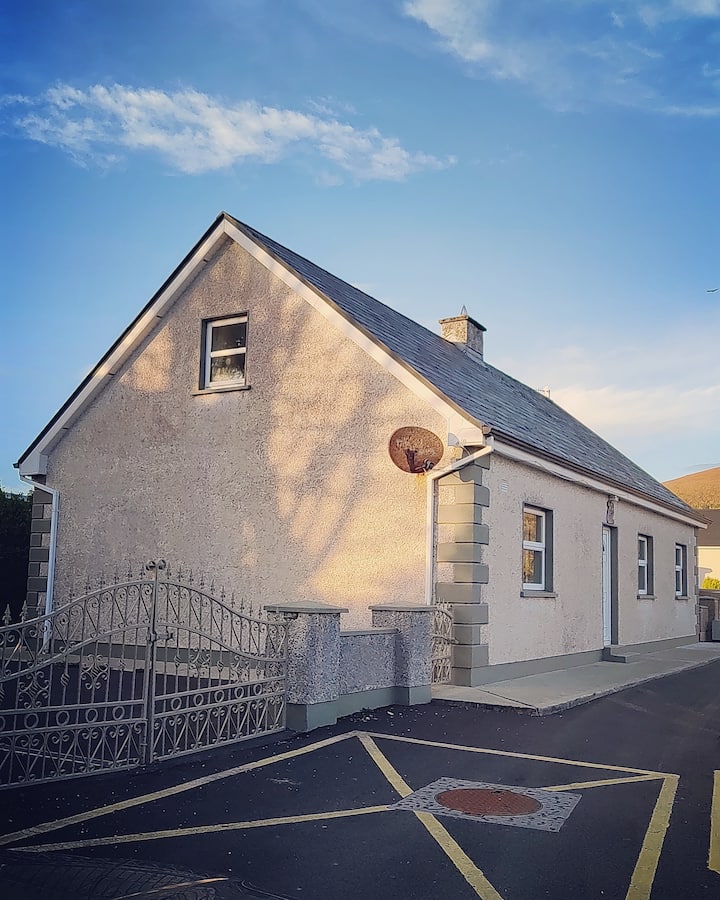
 farm housefarm house · 1609 yd
 Castle (in ruins)Castle, unclassified · 1.8 mi
 Gull IslandIslet · 3.2 mi
 Drummin ForestForest · 3.5 mi
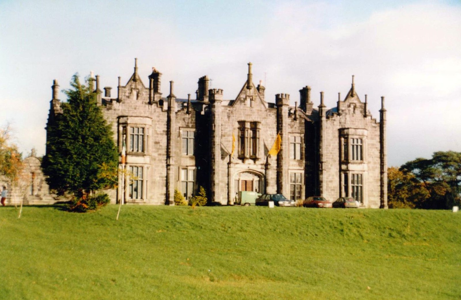 CastleCastle, unclassified · 3.6 mi
 Foxford Woollen MillsHeritage attraction · 3.7 mi
 Admiral William BrownMemorial · 3.7 mi
 Lough CullinViewpoint · 3.8 mi
 Cliff IslandIslet · 4.3 mi