What is recorded here
On a slight rise, 60m W of a ringfort (GA056-030----). A low semicircular mound of earth and stone (N-S 10m) partially truncated along E side by a field wall. According to local tradition, it was a place of burial.
The above description is derived from the published 'Archaeological Inventory of County Galway Vol. II - North Galway'. Compiled by Olive Alcock, Kathy de hÓra and Paul Gosling (Dublin: Stationery Office, 1999).
Date of upload: 05 August 2010
The monument record does not grant public access. Check the route and ask the landowner before entering private land.
- What survives
- Recorded monument
Places near here
 CaherFairy fort / ringfort · 96 yd
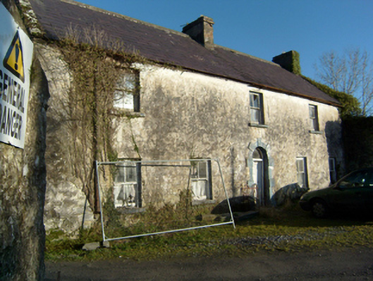 mill manager's housemill manager's house · 484 yd
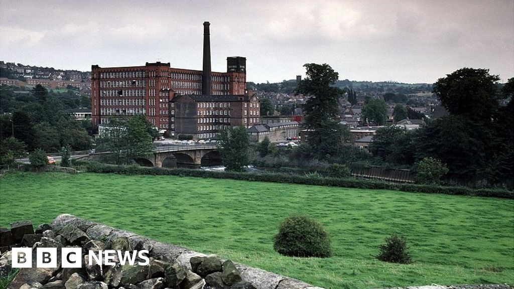 MillMill, corn · 513 yd
 Site of CastleCastle, unclassified · 1147 yd
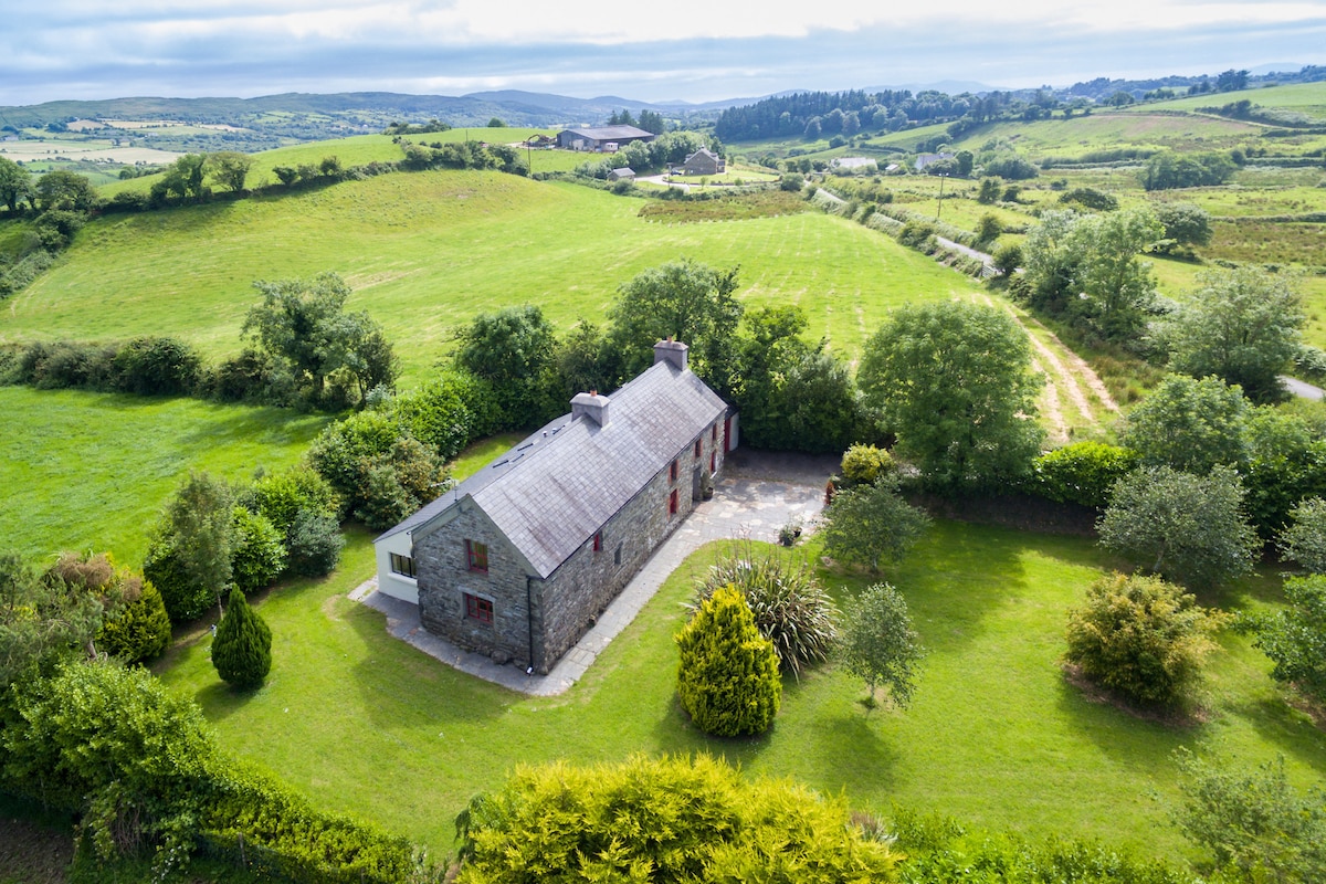 Enclosure in Bredagh (clare By.)Enclosure · 1533 yd
 Castle in ruinsCastle, tower house · 1.6 mi
 Kilcoona Round TowerHeritage attraction · 1.6 mi
 Ballinduff BayBay · 2.4 mi
 Cregg Castle DemesneForest · 3.3 mi
 Cúil DiarmuidWood · 3.9 mi
 Oileán an AoilIsland · 4.5 mi
 Walsh's IslandIslet · 4.5 mi