What is recorded here
In pasture, in the E corner of a modern rectilinear field. Ground rises gently to NW. Two broadly oval depressions (0.37cm by 0.33m; D 0.06-0.08m) are evident on the flat upper surface of a prostrate limestone slab (2m NE–SW; 1.3m NW–SE; H 0.3m) which is embedded in the ground surface. There is a rath (SL031-027----) 200m to WNW.
Attached image:
SL031-066----_01.JPG from S
SL031-066----_02.JPG from NW
Compiled by: Jane O'Shaughnessy
Date of upload: 6 July 2015
The monument record does not grant public access. Check the route and ask the landowner before entering private land.
- What survives
- Recorded monument
Places near here
 IndicatedFairy fort / earthen ringfort · 889 yd
 Tawnyart WoodWood · 1.5 mi
 CaltraghArchaeological place · 1.7 mi
 New WoodWood · 1.8 mi
 FriaryReligious house, Franciscan Third Order Regular · 2.2 mi
 Mass RockNamed rock · 2.9 mi
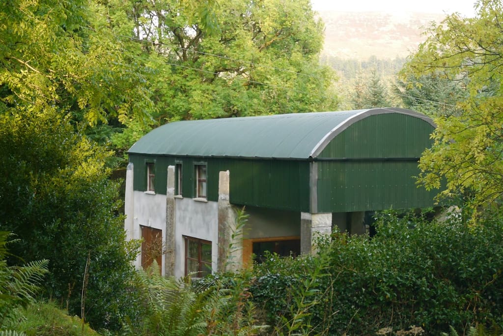 CloonacoolMountain / peak · 2.9 mi
 Castle (Site of)Castle, unclassified · 3.0 mi
 Ballyara Castle (in Ruins)Castle, unclassified · 3.0 mi
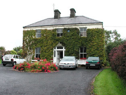 Springmounthouse · 3.4 mi
 Muckelty HillMountain / peak · 4.0 mi
 The Turf Stack RockNamed rock · 4.0 mi