What is recorded here
Situated on a gentle W-facing slope, and set into the ground. This is an irregularly shaped bullaun stone of granite (dims. c. 1m x c. 0.6m) with one basin (diam. 0.3m; D 0.12m). (Power 1906a, 39; 1907c, 208)
Power, Rev. P. (1906a) The place-names of the Decies, WAJ 9, 12-39, 80-106, 154-70, 228-65.
Power, Rev. P. (1907c) The placenames of the Decies. (second ed.) Nutt, London.
The above description is derived from the published 'Archaeological Inventory of County Waterford' (Dublin: Stationery Office, 1999). In certain instances the entries have been revised and updated in the light of recent research.
Compiled by: Michael Moore
Date of upload/revision: 10 June 2011
Likely dating to the early Christian or later prehistoric period, bullaun stones were often used for ritual or ecclesiastical purposes, such as the preparation of holy water. Local folklore may associate such stones with saintly figures or protective charms.
The monument record does not grant public access. Check the route and ask the landowner before entering private land.
- What survives
- Recorded monument
Places near here
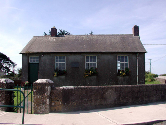 Killea National SchoolOfficially recorded historic building · 709 yd
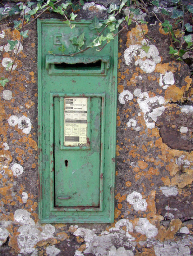 Historic buildingOfficially recorded historic building · 774 yd
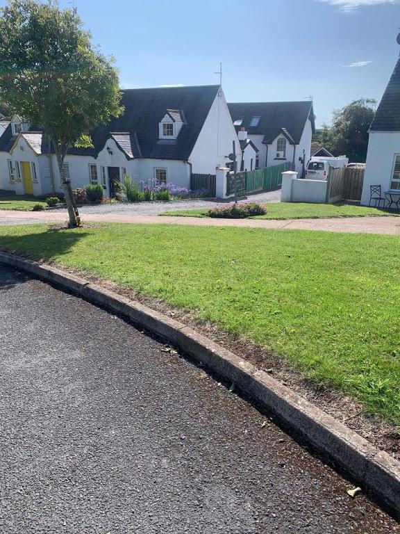 Grave YardGraveyard · 896 yd
 Fairy Bush LoopWalking route · 1220 yd
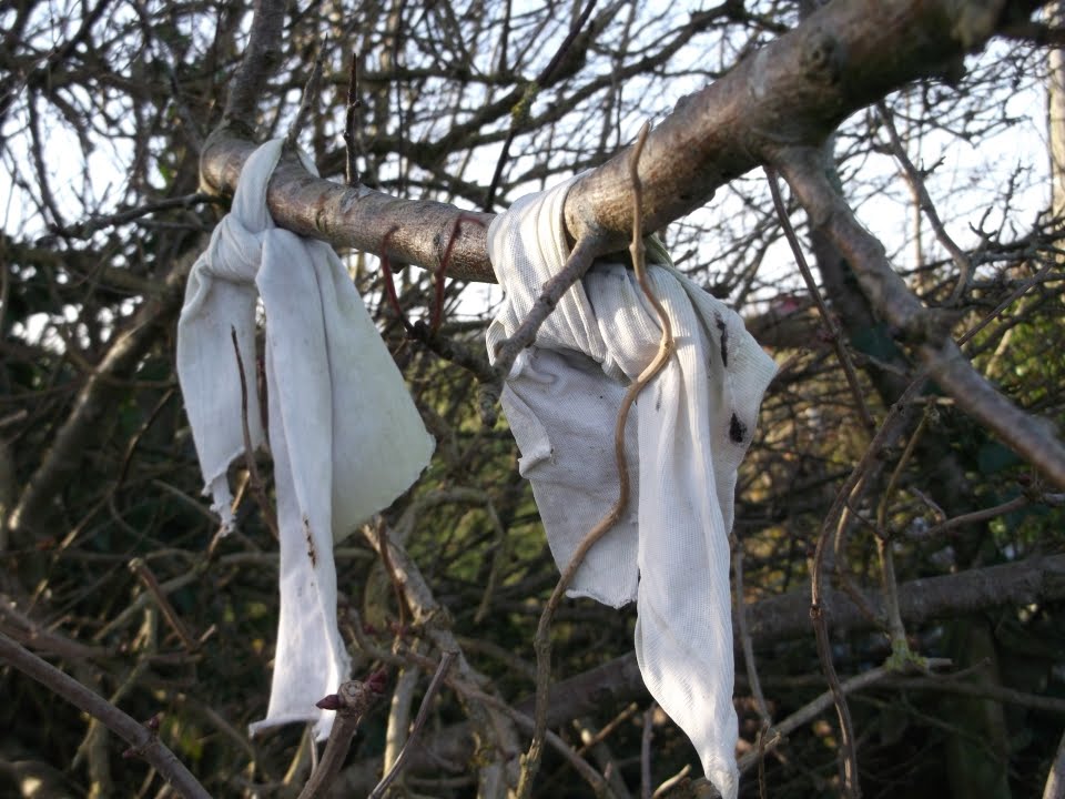 Fairy bushRitual site, holy tree/bush · 1398 yd
 Fairy Bush Forenaught LoopWalking route · 1.1 mi
 Councillors StrandBeach / strand · 1.2 mi
 Castle in ruinsCastle, Anglo-Norman masonry castle · 1.3 mi
 Ladies CoveBeach / strand · 1.3 mi
 Lost at Sea Memorial WallMemorial · 1.7 mi
 Knockavelish HeadHeadland · 2.1 mi
 South East Coastal DriveVisitor information · 2.4 mi