What is recorded here
In flat, wet, rushy terrain at the base of a S-facing slope of a rise known locally as 'the Nob', at the base of Slievenamuck. A roughly rectangular stone (dims. 0.82m x 1.12m; D 0.46m) of sandstone with quartz pebble inclusions. It has two depressions, one roughly central (diam. 0.32m; D 0.1m), the other at the E edge, with the E edge worn away (dims. 0.4m x 0.43m; D 0.2m). The bullaun lies in a former water course or field drain immediately N of a possible ecclesiastical enclosure (TS074-001001-).
Compiled by: Jean Farrelly
Date of upload: 18 June 2014
The monument record does not grant public access. Check the route and ask the landowner before entering private land.
- What survives
- Recorded monument
Places near here
 Ecclesiastical enclosure in Gortavoher WestEcclesiastical enclosure · 44 yd
 Christ the KingViewpoint · 728 yd
 Streamhill Househouse · 758 yd
 Glen of AherlowViewpoint · 807 yd
 The RockViewpoint · 1438 yd
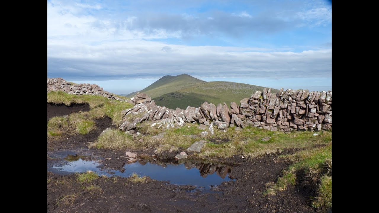 IndicatedEnclosure · 1.0 mi
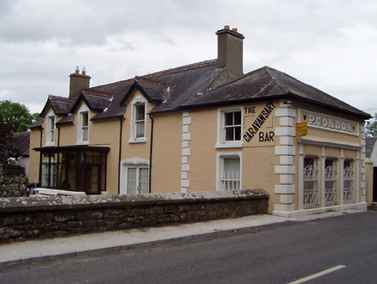 P. Condonhouse · 1.1 mi
 Cordangan Castle ruinsCastle · 1.8 mi
 Breansha Castle ruinsCastle · 1.8 mi
 Glengarra WoodWood · 1.8 mi
 Bansha ForestForest · 1.9 mi
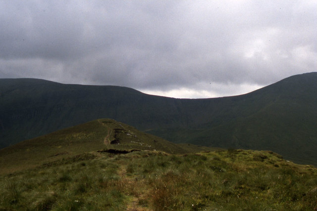 CushMountain / peak · 2.7 mi