What is recorded here
At the W edge of a broad marshy basin. Within a former manorial centre associated with the preceptory of the Knights Templar (WA017-003001-) (Gwynn and Hadcock 1970, 330). A rectangular medieval building (dims. c. 2.5m N-S; c. 7m E-W) identified during archaeological excavations (licence no. 18E0613) in advance of a housing development (Pollock 2021, 33-7, 56). The footprint of the building was defined by eavesdrop drains and a slight and uneven shelf at the S uphill end of the floor area (ibid. 56). Internally there were two areas of scorching (ibid. 33, 35). A sherd of Ham Green B pottery from the fill of the drain has a date range of 1175-125), however, charcoal from base of drain produced a C14 date in the late medieval period, 1465-1611, with a 97% probability of being in the early part of the range, 1435-96 (ibid. 34, 56). Another medieval building (WA017-003011-) is located c. 35m to the NW and Kilbarry church (WA017-003001-) and graveyard (WA017-003002-) lie c. 70m to the SE.
Compiled by: Jean Farrelly
Date of upload: 5 May 2021
The monument record does not grant public access. Check the route and ask the landowner before entering private land.
- What survives
- Recorded monument
Places near here
 RoadRoad, hollow-way · 93 yd
 Monastery (in ruins)Building · 101 yd
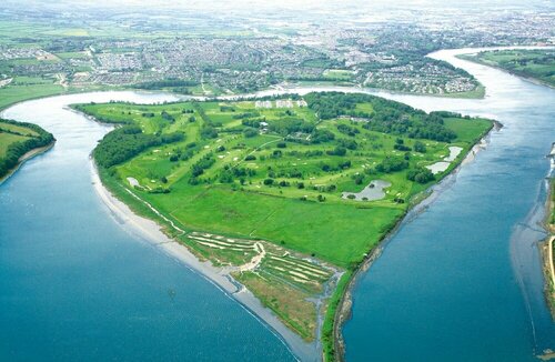 Burnt mound in KilbarryBurnt mound · 1146 yd
 Hearth in KilcohanHearth · 1.1 mi
 Double TowerHeritage attraction · 1.2 mi
 Watch TowerHeritage attraction · 1.2 mi
 Native Woodland Trust:Grace Dieu ReserveWood · 2.5 mi
 Sugar Loaf RockMountain / peak · 2.8 mi
 Granny CastleCastle, tower house · 2.9 mi
 Corluddy Castle (in Ruins)Castle, tower house · 3.6 mi
 Monterey CypressMonterey Cypress · 3.9 mi
 Ballyscanlon HillMountain / peak · 6.4 mi