What is recorded here
In pasture, on W bank of River Maigue. Roughly circular area (diam. 25m; see plan Westropp 1916-7, plates 40 & 41) defined by scarped edge (H 1.6m; Wth 3.6m), with external fosse (Wth 1.05m) and counterscarp bank (int. H 2.55m; ext. H 1.75m) NE->SE and SW->NW. Ground falls sharply down to bank of river NW->NE on line of counterscarp bank; a public road skirts line of bank SE->SW. An unpaved pathway crosses fosse NW->NE. Interior, which slopes gently down to N, is covered by dense overgrowth. According to O'Donnovan (OSL vol. 1, 86) known traditionally as 'Brugh Righ or King's Fort or Seat'. According to Seoighe (2000, 209-10) known locally, together with adjacent site (LI039-098---), as the Raheens 'a name derived from the Irish, Raithini, meaning "little forts"'. Listed by O Riordain (1974, 21) as example of 'platform-type ring-fort'. Located 150m ESE from companion site (LI039-098---).
Compiled by: Denis Power
Date of upload: 26 August 2011
The monument record does not grant public access. Check the route and ask the landowner before entering private land.
- What survives
- Recorded monument
Places near here
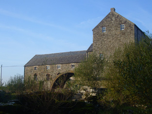 The Old Millmill (water) · 155 yd
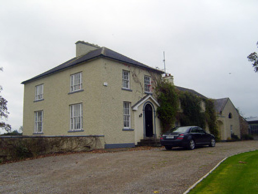 Glebe Houserectory/glebe/vicarage/curate's house · 246 yd
 Bruree Castle Upper (ruins)Castle · 356 yd
 OutlinedGraveyard · 363 yd
 IndicatedHoly well · 457 yd
 Eagle Mount MoteCastle, motte · 624 yd
 King John's CastleCastle · 4.1 mi
 Lady's WellSpring · 4.7 mi
 ToberSpring · 4.7 mi
 KnockfeerinaMountain / peak · 6.9 mi
 Flat cemetery in Knockainy WestFlat cemetery · 9.5 mi
 Ballinvreena LoopVisitor information · 10.0 mi