What is recorded here
Meltwater carves invisible chambers beneath Donegal grass, then emerges at The Pullauns downstream rising near Brownhall Demense. The cave gives back what the land swallowed, marking the boundary where hidden water remembers the shape of mountains.
The Irish Caves Database records The Pullauns downstream rising at Brownhall Demense in County Donegal. This point comes from its public cave register. A cave map point does not by itself grant access: check local conditions and ask the landowner where needed.
The cave register does not grant public access. Check conditions and ask the landowner before entering private land.
Places near here
 Enclosure in Brownhall DemesneEnclosure · 173 yd
 Enclosure in Rockhill (cavangarden Ed)Enclosure · 376 yd
 Brownhallcountry house · 909 yd
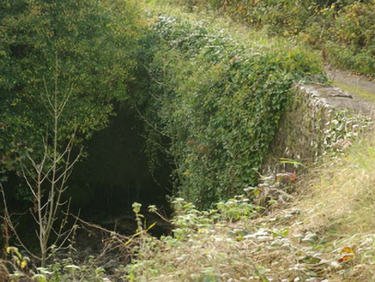 Aghadullagh Bridgebridge · 1065 yd
 Castle (Site of)Castle, unclassified · 1.7 mi
 HawthornHawthorn · 3.0 mi
 MurvaghOfficial bathing water · 3.2 mi
 Rooney's IslandIslet · 3.6 mi
 Ballyboyle IslandIslet · 4.5 mi
 Ballyboyle Castle (Site of)Castle, tower house · 4.6 mi
 RossnowlaghOfficial bathing water · 4.8 mi
 Wych ElmWych Elm · 4.9 mi