
What is recorded here
The fairy fort or earthen ringfort in Brittas (moyashel & Magheradernon By.) is in County Westmeath, Ireland. Situated on a low rise on the east side of a high, prominent hill, the site was described in 1972 as a much disturbed ringfort enclosed by the remains of an earthen bank and an outer fosse. The substantial bank is best preserved from northeast through east to south and west to north, while the wide, deep, and flat-bottomed fosse is best preserved from east to south. An entrance was probably located on the east-northeast where one side of a gap is visible and the other has been quarried.
Situated on a low rise, on the E side of a high, prominent hill, in pasture with good views to the SE. Ringfort (WM019-016----) lies c. 75m to S. Depicted on the 1837 ed. OS 6-inch map as an oval-shaped tree-planted earthwork. Depicted on the revised 1913 ed. OS 25-inch map as an oval-shaped earthwork (approx. dims. 46m N-S; 43m E-W) in the corner of an L-shaped area of woodland.
Monument described in 1972 as a much disturbed ringfort enclosed by the remains of an earthen bank and an outer fosse. The earthen bank is substantial and is best preserved from NE-E-S-W-N. It has been quarried N-NE and at W and has several disturbance gaps elsewhere. There is a modern stake and wire fence along the top of the bank from E-S-SW. The fosse is wide, deep and flat-bottomed and is best preserved from E-S. It has been infilled where an earthen field boundary has been constructed along the base of the bank from S-SW-W. It is very badly disturbed from N-NE-ENE and at W, where it has been quarried. The interior dips slightly to the perimeter at NW, SE and SW. It has been quarried from N-NE and at W. The entrance was probably on the ENE where one side of a gap is visible and the other has been quarried. Monument is visible today as an oval-shaped tree-planted area on Digital Globe aerial photography.
Compiled by: Alison McQueen, Vera Rahilly and Caimin O’Brien
Date of upload: 18 February 2019
The monument record does not grant public access. Check the route and ask the landowner before entering private land.
- What survives
- Recorded monument
Places near here
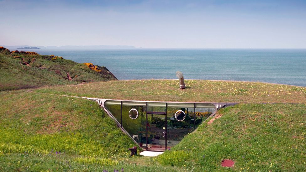 Enclosure in Loughagar MoreEnclosure · 959 yd
 EnclosureEnclosure, large enclosure · 1043 yd
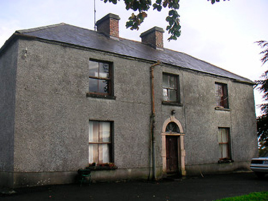 Newgrove Housefarm house · 1.0 mi
 Site of CastleCastle, unclassified · 1.4 mi
 Church (in Ruins)Church · 1.4 mi
 Long PlantingForest · 1.9 mi
 CastleCastle, unclassified · 2.6 mi
 Saint Brigid's WellSpring · 2.9 mi
 United Nations War MemorialMemorial · 3.2 mi
 Scragh Bog Nature ReserveNature reserve · 3.3 mi
 The Chimera GalleryGallery · 3.6 mi
 Famine MemorialMemorial · 3.6 mi
Other information
Photo: Credit not shown in the picture search · Rights wording not checked; contact us if this picture should be removed