What is recorded here
The precise location of the bridge crossing the Annagh River that is depicted on the Down Survey map of Clanwilliam Barony has not been identified (NLI, MS 718; Hib. Reg.). On this map the bridge is depicted spanning the Annagh River which marks the barony boundary with Owneybeg. The bridge was located N of the present Annagh Bridge and served as a crossing point between the townlands of Annagh and Knockanbaun.
Compiled by: Caimin O'Brien
Date of upload: 11 May 2020
The monument record does not grant public access. Check the route and ask the landowner before entering private land.
- What survives
- Recorded monument
Places near here
 CastleCastle, unclassified · 1 yd
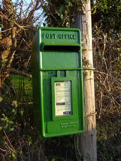 post boxpost box · 641 yd
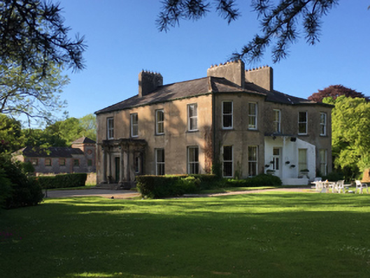 Thornfield Housecountry house · 984 yd
 Enclosure in BallynagowanEnclosure · 1.2 mi
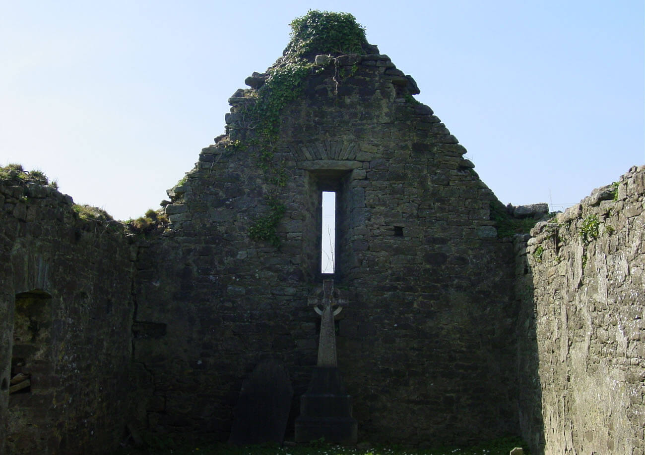 Burial in AnnaghBurial · 1.2 mi
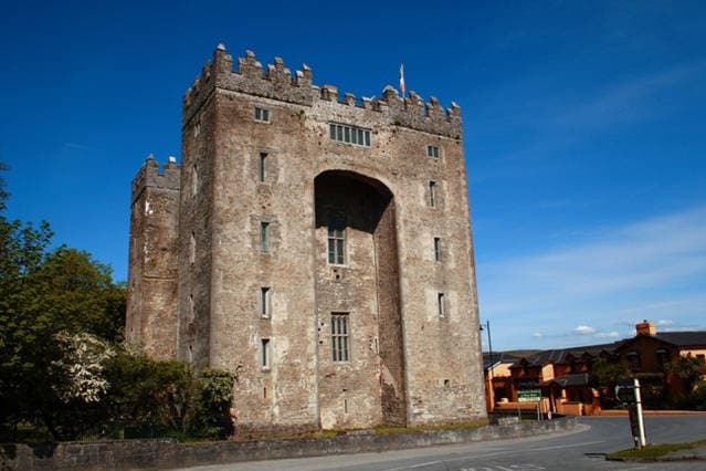 The Turret (in Ruins)Castle, unclassified · 2.6 mi
 Campus MapVisitor information · 3.7 mi
 Visitor CentreVisitor information · 3.7 mi
 Fountain SculptureHeritage attraction · 3.8 mi
 Graveyard in AbingtonGraveyard · 3.8 mi
 The Pollagh TrailNature reserve · 6.9 mi
 KnockseefinMountain / peak · 9.3 mi