What is recorded here
In a front garden on the NE slope of Brewel Hill. A second ringbarrow (KD032-023----) lay c. 120m to the WSW, a third (KD032-024----) lies c. 240m to the S and a fourth (KD032-025----) lies c. 250m to the SW. Although not recorded on OS mapping, this monument is visibly upstanding on 1963 and 1969 aerial photographs (CUCAP AIC 91 and CUCAP AYL 88), where it can be seen as a raised circular area enclosed by a broad fosse and outer bank (est. overall diam. c. 48m) In 1985, it was almost imperceptible at ground level; a circular area (diam. c. 17m) enclosed by a broad, shallow fosse. Local information at that time was that the land had recently been ‘improved’ here (SMR file). In 1994, a report on archaeological trail trenching in advance of the construction of a private dwelling house just to the SW of the site noted that no visible surface trace of the monument survived. (Opie and Keeley-Schmidt. Excavation Licence No. 94E029) The monument itself was not trial trenched and sub-surface deposits may survive intact.
Compiled by: Gearóid Conroy
Date of upload: 18 October 2013
A Neolithic ring-barrow, dating to the 4th to 3rd millennium BCE, part of a small barrow group indicating early prehistoric funerary practices in the area. Its location within a cluster suggests a ritual landscape associated with burial and communal memory.
The monument record does not grant public access. Check the route and ask the landowner before entering private land.
- What survives
- Recorded monument
Places near here
 Church in Brewel WestChurch · 173 yd
 Castle (in Ruins)House, fortified house · 385 yd
 Enclosure in Brewel East OR MervilleEnclosure · 575 yd
 Ceremonial enclosure in Brewel WestCeremonial enclosure · 787 yd
 HawthornHawthorn · 1712 yd
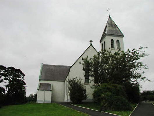 Saint Joseph's Catholic Churchchurch/chapel · 1.4 mi
 Site of Fair GreenForest · 1.8 mi
 Colbinstown Castle (in Ruins)Castle, unclassified · 2.0 mi
 Battle of Kilrushbattle · 4.6 mi
 1798 memorial stoneMonument · 4.9 mi
 Ballyhook HillMountain / peak · 5.2 mi
 Gorden Bennet Race memorialMemorial · 7.2 mi