What is recorded here
Lisarve is a slight subcircular platform on the highest point of a Donegal spit, squeezed between a stream and the Bredagh river. It still offers a wide view, though the earth has mostly forgotten the shape of the fort. A person standing there at dusk would not need much imagination to believe the land was watching back.
A slight trace of a subcircular platform known as 'Lisarve' situated on the highest point of a spit of land bounded by a stream to the E and by the Bredagh river on the W. It has good views.
The above description was derived from the 'Archaeological Survey of County Donegal. A description of the field antiquities of the County from the Mesolithic Period to the 17th century.' Compiled by: Brian Lacey with Eamon Cody, Claire Cotter, Judy Cuppage, Noel Dunne, Vincent Hurley, Celie O'Rahilly, Paul Walsh and Seán Ó Nualláin (Lifford: Donegal County Council, 1983). In certain instances the entries have been revised and updated.
Date of upload: 22 September 2008
The monument record does not grant public access. Check the route and ask the landowner before entering private land.
- What survives
- Recorded monument
Places near here
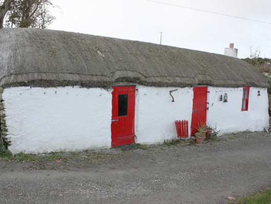 outbuildingoutbuilding · 490 yd
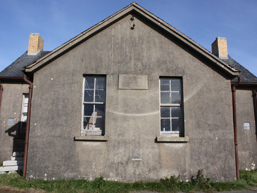 Scoil Bhrídeschool · 1040 yd
 Cooly Early Ecclesiastical Site and GraveyardEcclesiastical enclosure · 1381 yd
 Cooly Medieval GraveslabGraveslab · 1383 yd
 Cooley CrossMemorial · 1392 yd
 CrockavishaneMountain / peak · 1.8 mi
 CrockaulinMountain / peak · 2.2 mi
 Castle CaryCastle, unclassified · 2.2 mi
 Inishowen Maritime Museum and PlanetariumMuseum · 3.0 mi
 GreencastleCastle · 3.5 mi
 The Spanish Armada 1588Memorial · 4.5 mi
 Sweet Nellie'sBeach / strand · 4.5 mi