What is recorded here
Enclosure (OF027-010001-) formerly defined by a bank (ITA Survey 1942) and showing on aerial photo (CUCAP, BDU 15) but no longer visible since area is covered with modern grave plots. Marked as graveyard on first ed. OS 6-inch map and depicted as a circular enclosure. Comerford (1883, 135) casts doubt on the antiquity of this graveyard and there appears never to have been a church (OF027-010003-) here.
According to a local farmer who described the site as being a Rath for burying unbaptised children. The site was located in a field behind Bracknagh Church (OF027-011----). No surface evidence of this site remains probably due to land improvement in the area.
The above description is derived from the published 'Archaeological Inventory of County Offaly' (Dublin: Stationery Office, 1997). In certain instances the entries have been revised and updated in the light of recent research.
Date of upload: 23 May 2011
The monument record does not grant public access. Check the route and ask the landowner before entering private land.
- What survives
- Recorded monument
Places near here
 Grave YardChurch · 18 yd
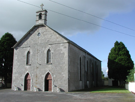 Saint Brochan's Catholic Churchchurch/chapel · 226 yd
 Burial in Ballinowlart SouthBurial · 1.2 mi
 Enclosure in Clonbrock LowerEnclosure · 1.4 mi
 Sli na Slainte - mapVisitor information · 3.3 mi
 Offaly CastleCastle, tower house · 3.7 mi
 Community OrchardNature reserve · 4.0 mi
 Derryounce Walk (Yellow Loop)Walking route · 4.1 mi
 Site of CastleCastle, tower house · 4.1 mi
 Allen family memorial headstoneMemorial · 4.3 mi
 Bithia Mary CrokerMemorial · 4.3 mi
 Derryounce Lakes & TrailsNature reserve · 4.3 mi