
What is recorded here
No surface trace visible of any church or architectural fragment which Davies (1942) recorded as a door jamb. Graveyard (OF027-010002-) was formerly enclosed by an earthen bank which appears on aerial photographs as an enclosure (OF027-010001-). This enclosure is no longer visible and the graveyard is now enclosed by a modern wall. According to Comerford (1883, 135) there was no church ever located at this site. Marked graveyard on first edition of the ordnance survey 6-inch map but no church is shown.
The above description is derived from the published 'Archaeological Inventory of County Offaly' (Dublin: Stationery Office, 1997). In certain instances the entries have been revised and updated in the light of recent research.
Date of upload: 23 May 2011
A local church or high cross; wider significance not recorded.
The monument record does not grant public access. Check the route and ask the landowner before entering private land.
- What survives
- Recorded monument
Places near here
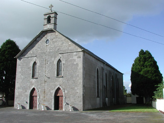 Saint Brochan's Catholic Churchchurch/chapel · 240 yd
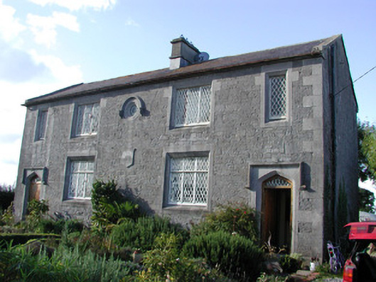 The Old Schoolhouseschool · 261 yd
 Burial in Ballinowlart SouthBurial · 1.2 mi
 Enclosure in Clonbrock LowerEnclosure · 1.4 mi
 Sli na Slainte - mapVisitor information · 3.3 mi
 Offaly CastleCastle, tower house · 3.8 mi
 Community OrchardNature reserve · 4.0 mi
 Derryounce Walk (Yellow Loop)Walking route · 4.1 mi
 Site of CastleCastle, tower house · 4.1 mi
 Allen family memorial headstoneMemorial · 4.3 mi
 Bithia Mary CrokerMemorial · 4.3 mi
 Derryounce Lakes & TrailsNature reserve · 4.3 mi
Other information
Photo: Credit not shown in the picture search · Rights wording not checked; contact us if this picture should be removed