What is recorded here
Fairy fort in Brackloon, County Galway: a subcircular earthen rath, 77m by 68m, with a bank and outside ditch, c. 220m SW of the Raford River. Field walls now cross the bank, and modern gaps have opened at E and SSW, but the ditch still curves from E through S to NNW. People may have lived here before the grass and walls took it back; the earth kept the shape of a home long after the doorway disappeared.
In level grassland, c. 220m SW of the Raford River. Very poorly preserved subcircular rath (77m NE-SW; 68m NW-SE) defined by a bank and external fosse. The bank, which is overlain by a number of field walls, is most clearly visible from E to SSE; a scarp forms the enclosing element from NNW to NE. The fosse is extant from E through S to NNW. Gaps at E and SSW appear to be modern.
Compiled by: Galway Archaeological Survey, UCG
Date of upload: 6 January 2017
The monument record does not grant public access. Check the route and ask the landowner before entering private land.
- What survives
- Recorded monument
Places near here
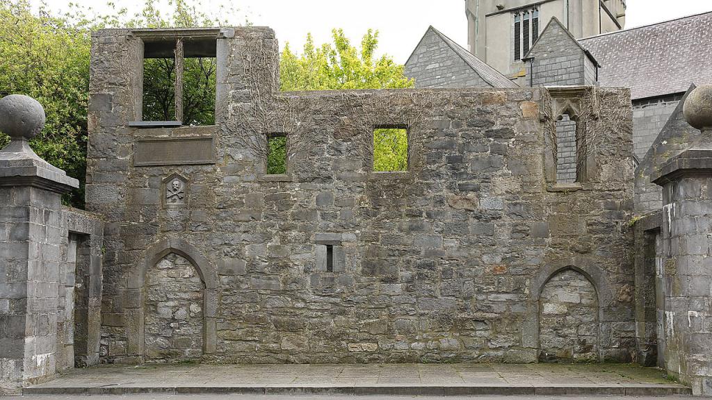 Ecclesiastical enclosure in KillescraghEcclesiastical enclosure · 1343 yd
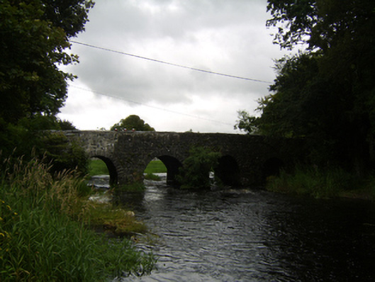 Raford Bridgebridge · 1.0 mi
 Raford Housefarmyard complex · 1.3 mi
 ToberdoneyHoly well · 1.6 mi
 Galboley Castle (in ruins)Castle, unclassified · 2.2 mi
 Turoe StoneHeritage attraction · 2.4 mi
 Woodlawn WoodsForest · 4.0 mi
 Bawn in Cahernamuck WestBawn · 4.3 mi
 European Crab AppleEuropean Crab Apple · 4.4 mi
 Dartfield Horse MuseumHeritage attraction · 5.7 mi
 Barrack IslandIslet · 6.3 mi
 Middle IslandIslet · 6.3 mi