What is recorded here
Fairy fort / earthen ringfort in Bracklon stands on a gentle NE-facing slope in County Longford, Ireland. Its low earth bank and waterlogged fosse mark a subrectangular enclosure where a modern roadway has cut through the eastern edge. The original entrance has vanished beneath traffic and time, leaving only a buried threshold for imagination to cross.
On a gentle NE-facing slope in pasture. A raised subrectangular area (32.2m NE-SW; 25.65m NW-SE) enclosed by a partially denuded, low bank of earth and stone (Wth 4.5m; H 0.1-0.9m) with a deep, partially waterlogged external fosse (Wth 4.5m; D 1.3m). It has been levelled from NNE-E-ESE where it is bordered by a modern roadway. The original entrance is not recognisable.
Compiled by: Patrick F. O'Donovan
Date of upload: 26 August 2011
The monument record does not grant public access. Check the route and ask the landowner before entering private land.
- What survives
- Recorded monument
Places near here
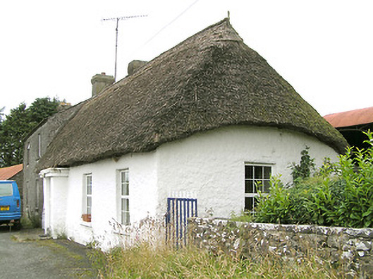 Moore's Townhouse · 443 yd
 IndicatedFairy fort / ringfort · 642 yd
 Enclosure in BracklonEnclosure · 723 yd
 CastleCastle, ringwork · 1272 yd
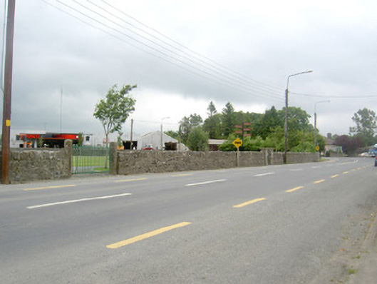 gates/railings/wallsgates/railings/walls · 1618 yd
 Edgeworthstown BypassMemorial · 1.2 mi
 RuinsCastle, unclassified · 1.4 mi
 Oldtown DemesneForest · 3.1 mi
 Oldtown CopseWood · 3.2 mi
 Clonfin Ambush MemorialMemorial · 3.9 mi
 Bully's Acregraveyard/cemetery, unknown · 4.9 mi
 Granard MotteMotte-and-bailey castle remains · 6.8 mi