What is recorded here
Knockloughan held two standing stones beside Loughsheebaun, possibly markers for a lost structure or boundaries for a forgotten field. They stood above the water until reclamation tools took them in 1995, leaving only memory behind. The ringbarrow and ogham stone still wait on the ridge nearby, preserving the shape of a place that no longer shows its own bones.
In pasture, located on elevated ground, named ‘Knockloughan’ on the 1916 OS 6-inch map, bordering the SE side of a pool named ‘Loughsheebaun’ on the same map. There is a ringbarrow (MA093-038002-) and an ogham stone (MA093-038001-) on a ridge c. 250m to NW.
This record refers to one of two stones (MA093-095001-; MA093-095002-), which according to a local source were possible 'standing stones, or part of a larger structure'. They were removed during land reclamation works in 1995 (SMR file)
Compiled by: Jane O’Shaughnessy
Date of upload: 30 June 2022
Probably dates to the early medieval period, potentially associated with the nearby ringbarrow and ogham stone, suggesting a ritual or commemorative function. It may have had a role in territorial marking or ancestor veneration, common practices in early Irish landscapes.
The monument record does not grant public access. Check the route and ask the landowner before entering private land.
- What survives
- Recorded monument
Places near here
 IndicatedFairy fort / earthen ringfort · 1.1 mi
 CastleCastle, unclassified · 1.1 mi
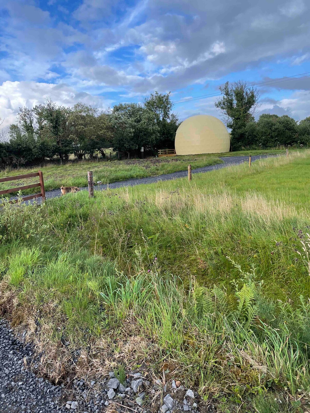 Enclosure in Larganboy EastEnclosure · 1.2 mi
 Saint Patrick's Catholic Churchpresbytery/parochial/curate's house · 1.2 mi
 Ballyhaunis Courthousecourt house · 1.3 mi
 Rath Castle in ruinsCastle, tower house · 4.9 mi
 Knock MuseumMuseum · 5.1 mi
 Knock ShrineHeritage attraction · 5.2 mi
 East Mayo Brigade MonumentMemorial · 6.6 mi
 Oak WoodForest · 9.4 mi
 I'll Send You The FareMemorial · 9.9 mi
 Geoffrey's WoodForest · 10 mi