
What is recorded here
Free-standing gable-fronted Presbyterian church, dated 1842, having three-bay side elevations, and recent two-storey extension to rear (north). Now in use as crafts and coffee shop. Pitched slate roof with cut limestone copings and cast-iron rainwater goods. Roughcast rendered walls having smooth rendered plinth, quoins, and string courses. Smooth rendered quatrefoil moulding to upper level of front (south) elevation. Inscribed limestone date plaque to gable-front 'Broomfield Presbyterian Church erected A.D. 1842'. Pointed-arch window openings having timber Y-traceried frames with small-pane glazing and stone sills. Main entrance consists of recessed pointed-arch door opening with smooth rendered surround and timber tongued-and-grooved double-leaf door. Church is set within site containing graveyard. Square-plan smooth rendered gate piers to front (south) boundary with metal gates and recent timber fence. Interior refurbished interior having recent gallery to east, south and west sides. Moulded ogee-arch above elliptical-arch recess to north wall. Exposed timber king-post roof structure with struts, and having recent tongue-and-groove timber boarding above. Smooth rendered walls with tongue and groove timber panelling to dado level.
This building is a typical example of a mid-nineteenth-century Presbyterian Church and is representative of thearchitecture of the community. Despite renovations in the late twentieth century, the church retains its original form and much of its early character. The surrounding graveyard further enhances the picturesque setting of the building, with a combination of crosses and curved and rectangular headstones. The graveyard is no longer in use.
This does not grant access. Most recorded buildings are privately owned; view them only from public ground unless the owner allows entry.
Places near here
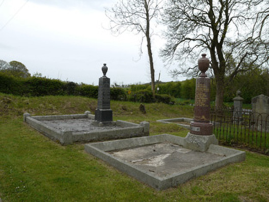 Broomfield Presbyterian ChurchGrave monument · 22 yd
 IndicatedFairy fort / earthen ringfort · 262 yd
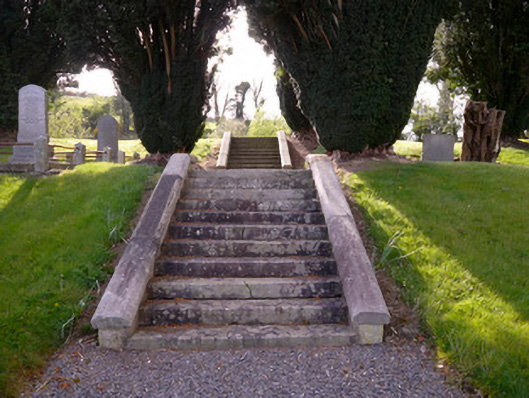 Holy Trinity Church (Donaghmoyne)church/chapel · 501 yd
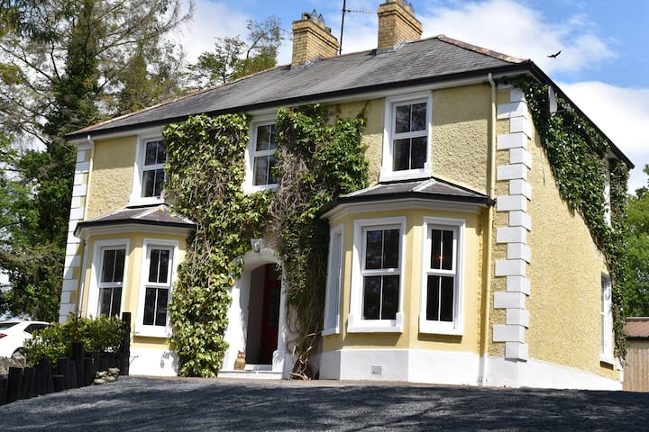 Embanked enclosureFairy fort / earthen ringfort · 971 yd
 KnockreaghMountain / peak · 1635 yd
 Fincarn HillMountain / peak · 1.8 mi
 Whites IslandIslet · 2.3 mi
 TobernagalliaghSpring · 3.2 mi
 Crane IslandIsland · 3.3 mi
 Lough MucknoLake and park landscape · 3.7 mi
 Mannan Castle (in ruins)Castle, Anglo-Norman masonry castle · 3.8 mi
 Bawn in OnomyBawn · 3.9 mi
Other information
Photo: Kenneth Allen · CC BY-SA 2.0