What is recorded here
The terrier accompanying the Down Survey (1655-6) parish map of Urlingford records, ‘at Borismore a Thatcht Chimney house and Cabbins’, with the proprietor listed as the 'Earle of Ormond'. This possible settlement cluster may relate to the 'old town of Borrismore (situated south of Wilton House, where its foundations are still traceble)' (KK012-065----) mentioned by Carrigan (1905, vol. 2, 366). The precise location of these houses within the townland is unknown.
Compiled by: Jean Farrelly
Date of upload: 17 June 2019
The monument record does not grant public access. Check the route and ask the landowner before entering private land.
- What survives
- Recorded monument
Places near here
 Ardaneena Church (in ruins)Church · 446 yd
 Enclosure in Donaghmore LowerEnclosure · 1276 yd
 Belle Vue Househouse · 1281 yd
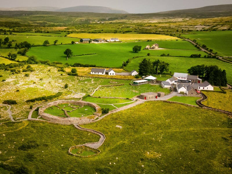 Borrismore Ringfort (Rath)Archaeological place · 1520 yd
 CastleCastle, tower house · 1549 yd
 Black CastleCastle, hall-house · 1.6 mi
 John HelyMemorial · 1.7 mi
 DelaneyMemorial · 1.9 mi
 Clomantagh HillMountain / peak · 1.9 mi
 Kildrinagh WoodForest · 3.1 mi
 Deerpark WoodWood · 4.3 mi
 Anker's IslandIsland · 10.0 mi