What is recorded here
In a small tree plantation straddling a broad gully on a ridge of high land. There are good views in all directions. Described by Barry (1977, 187) in a corpus of moated sites as, 'Flat platform. Int. Bank, except to east, 4m wide and 2.50m high. Dry moat 3.3m wide and 1.10m deep'. A roughly trapezoidal enclosure (dims. c. 80m NW-SE at W end narrowing to c. 57m NW-SE at E end; c. 69m E-W at N tapering to c. 61m at S) enclosed by a bank (int. H c. 1-1.5m; ext. H 1-1.5m) and fosse (Wth c. 2m; D 1m), though the latter has been infilled on the N and E sides. However, as the interior (D c. 2.5m) undulates with a natural dip in the terrain, much of it is well below the surrounding field level. It is unlikely that this is a moated site and it appears to be designed landscape feature associated with Borrismore House and demesne.
Compiled by: Jean Farrelly
Date of upload: 14 May 2019
The monument record does not grant public access. Check the route and ask the landowner before entering private land.
- What survives
- Recorded monument
Places near here
 Enclosure in Donaghmore LowerEnclosure · 499 yd
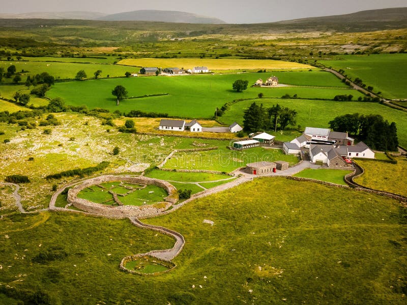 Borrismore Ringfort (Rath)Archaeological place · 628 yd
 Ardaneena Church (in ruins)Church · 1108 yd
 The Old Rectoryrectory/glebe/vicarage/curate's house · 1421 yd
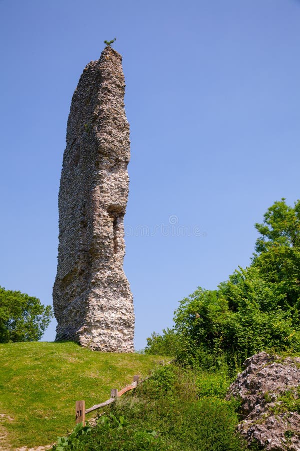 CastleCastle, ringwork and bailey · 1451 yd
 John HelyMemorial · 1.1 mi
 DelaneyMemorial · 1.2 mi
 TurretBawn · 1.4 mi
 Clomantagh HillMountain / peak · 2.0 mi
 Kildrinagh WoodForest · 3.8 mi
 Street fieldArchaeological place · 4.1 mi
 Anker's IslandIsland · 10 mi