What is recorded here
Bolus mountain holds two rectangular stones set 1.3m apart on a gentle slope overlooking the Atlantic. The taller southern stone reaches 1.76m, while its northern partner stands 1.5m high. They are absent from official maps, suggesting they escaped notice rather than human design. Whoever placed them may have marked a boundary, a meeting point or a warning about the sea below.
This pair of standing stones, not marked on the OS maps, is located in elevated pasture on a gentle S facing slopeof Bolus mountain, and overlooks the Atlantic to S. Set 1.3m apart in a N-S line, both stones are roughly rectangular in elevation. The taller, at S, is 1.76m high md measures .52m x .18m at base. The second stone stands 1.5m high, and is .56m x .23m at base
The above description is derived from A. O'Sullivan and J. Sheehan (compilers), 'The Iveragh peninsula: an archaeological survey of South Kerry'. Cork University Press (1996), no. 116. In certain instances the entries have been revised and updated in the light of recent research.
Date of upload: 28 July 2013
The monument record does not grant public access. Check the route and ask the landowner before entering private land.
- What survives
- Recorded monument
Places near here
 Galláin/ Standing Stones.Archaeological place · 6 yd
 Megalithic structure in DuicheallaMegalithic structure · 358 yd
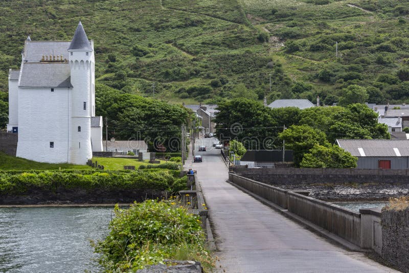 Cuas na gColúr/Cove of the Pigeons.Cave · 730 yd
 Cuas an tSeaga/Commorant Cove.Cave · 745 yd
 Cuas a' Daimh /Ox Cove.Bay · 878 yd
 Bolus Napoleonic Signal TowerRuins · 938 yd
 WWII Lookout PostRuins · 970 yd
 Pointe na Leacacha/Point of the Flagstones.Headland · 1025 yd
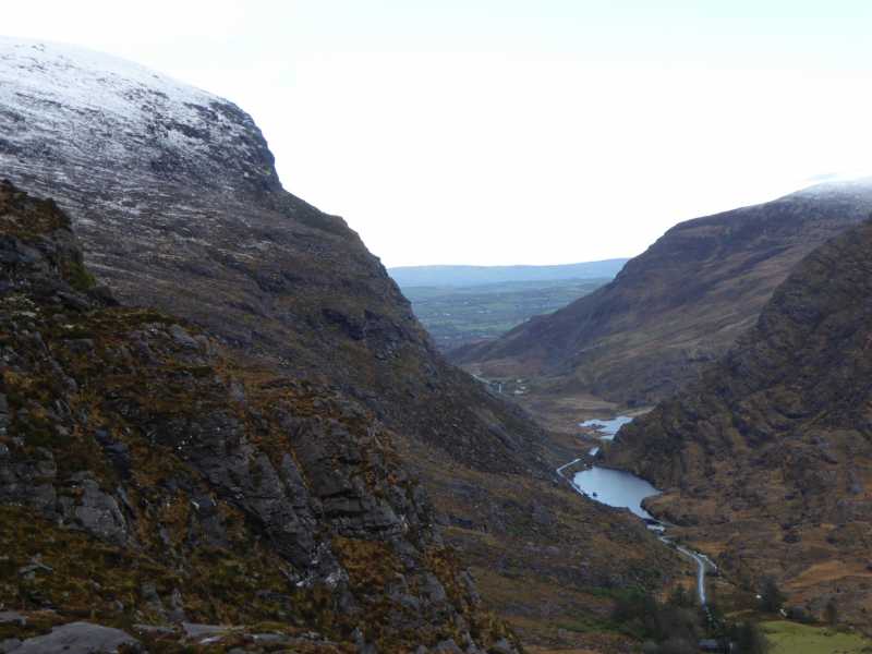 Cnoc Ceannúch (Canuig Mountain)Mountain / peak · 1.1 mi
 Bogha SínMountain / peak · 1.3 mi
 Liberator "63939" monumentMemorial · 1.3 mi
 Trá PhraisceBeach / strand · 1.9 mi