
What is recorded here
Indicated is a circular earthen ringfort atop a Cork hill, thirty metres across with a two-metre bank and a narrow south-east entrance. It stands in open pasture, exposing its ancient shape and hidden interior passage to whoever walks beside it. The clear gap and raised floor suggest people once lived, worked or hid there before the land forgot their names.
In pasture, atop hill. Circular, slightly raised area (diam. c. 30m) enclosed by earthen bank (H 2m), stone faced in parts; external fosse to S and SW (D 0.3m). Gap (Wth 0.8m) in bank to SSE. Possible Man-made underground passage (CO133-007002-) in interior.
The above description is derived from the published 'Archaeological Inventory of County Cork. Volume 1: West Cork' (Dublin: Stationery Office, 1992). In certain instances the entries have been revised and updated in the light of recent research.
Date of upload/revision: 14 January 2009
The monument record does not grant public access. Check the route and ask the landowner before entering private land.
- What survives
- Recorded monument
Places near here
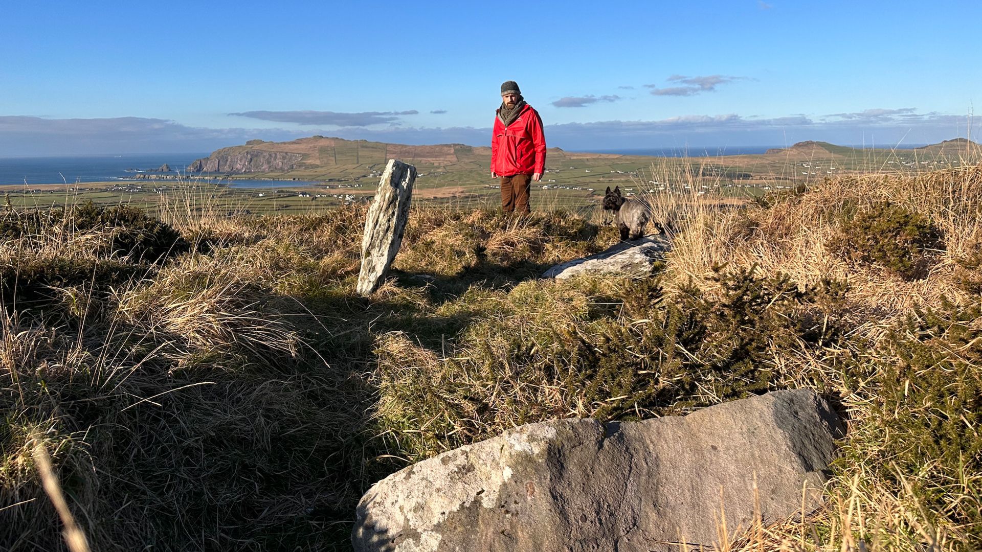 Wedge tomb in DromduvaneWedge tomb · 725 yd
 Burial in DromduvaneBurial · 911 yd
 Church in Driminidy NorthChurch · 986 yd
 MillMill, corn · 1173 yd
 Drimoleague Heritage Loop WalkWalking route · 2.8 mi
 Moyny Bridge WalkWalking route · 2.8 mi
 Lissangle Castle (Site of)Castle, unclassified · 3.4 mi
 Ballyourane Castle (in Ruins)Castle, unclassified · 4.5 mi
 Milane HillMountain / peak · 4.6 mi
 Graveyard in ToughmacdermodyGraveyard · 4.8 mi
 Bláth na GréineWood · 5.0 mi
 Leap waterfallHeritage attraction · 5.0 mi
Other information
Photo: Credit not shown in the picture search · Rights wording not checked; contact us if this picture should be removed