What is recorded here
Thirty-seven metres of forgotten boundary still cuts through the Bohard marsh, its earthen bank rising a metre and a half above the wet pasture. The interior has vanished beneath dense green overgrowth, hiding whatever hands shaped the circle or lived inside it. The fossé beside the bank remains a shallow scar in the soil, marking the edge of a place that stopped being seen but never stopped existing.
In level marshy pasture. Circular area (diam. 37m) enclosed by an earthen bank (int. H 0.7m; ext. H 1.35m) with external fosse (D 0.6m; Wth 2m). Interior is completely covered by dense overgrowth.
Compiled by: Denis Power
Date of upload: 26 August 2011
The monument record does not grant public access. Check the route and ask the landowner before entering private land.
- What survives
- Recorded monument
Places near here
 Moated site in AhaveheenMoated site · 1327 yd
 Moated site in AhadaghMoated site · 1422 yd
 ToberhoranSpring · 1.2 mi
 CastleCastle, unclassified · 1.2 mi
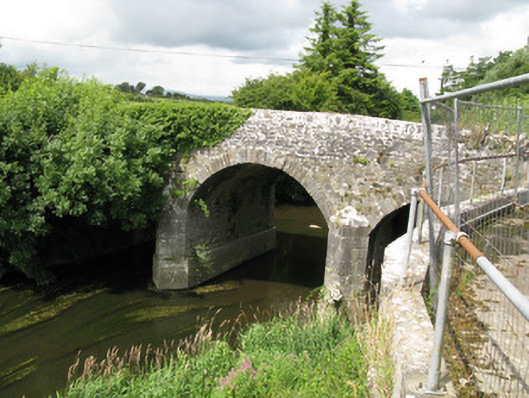 Broken Bridgebridge · 1.2 mi
 Church (in ruins)Church · 1.4 mi
 Garbally WellSpring · 1.6 mi
 Mayne Ho.Castle, unclassified · 2.0 mi
 National Co-op MuseumMuseum · 3.8 mi
 Ballagh MountainMountain / peak · 7.3 mi
 Mullaghareirk - Banane LoopWalking route · 8.2 mi
 Rock HillMountain / peak · 10 mi