What is recorded here
Two houses are marked on a Longfield map of 1770 in NLI (ms. 21.F.1(56). Neither of them are identified or located.
Compiled by: Michael Moore
Date of upload: 24 August 2010
The monument record does not grant public access. Check the route and ask the landowner before entering private land.
- What survives
- Recorded monument
Places near here
 IndicatedFairy fort / earthen ringfort · 236 yd
 Sweat Ho. (Disused)Sweathouse · 1135 yd
 Templecaleen (in Ruins)Church · 1.4 mi
 Smutternagh WoodWood · 1.7 mi
 The CopseWood · 1.8 mi
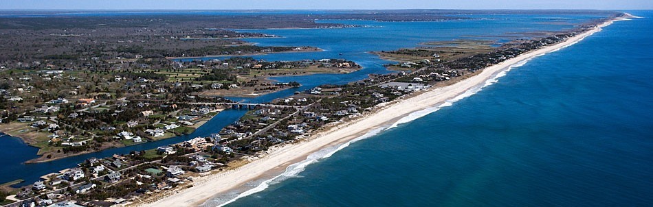 Long IslandIslet · 1.8 mi
 Ash IslandsIslet · 1.8 mi
 Saint Thomas's Church (Kilmactranny)church/chapel · 2.0 mi
 MoatCastle, motte · 2.6 mi
 Loughbrick BayBay · 3.4 mi
 Erris BayBay · 3.7 mi
 Turlough O'CarolanMemorial · 4.0 mi