What is recorded here
Located on a fairly level landscape. The cropmark of an oval enclosure (dims. c. 30m E-W, c. 25m N-S) defined by a single fosse feature is visible on aerial photographs (MM (56) 10-14). It is cut by the cropmarks of the two ditches associated with an ENE-WSW mapped field boundary that is now removed.
Compiled by: Michael Moore
Date of upload: 17 June, 2013
The monument record does not grant public access. Check the route and ask the landowner before entering private land.
- What survives
- Recorded monument
Places near here
 Embanked enclosureFairy fort / ringfort · 958 yd
 Church (Ruins of)Ruins · 1478 yd
 Fulacht FianFulacht fia · 1.1 mi
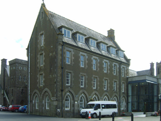 Saint Louis's Conventconvent/nunnery · 1.1 mi
 Tinnock RockNamed rock · 1.5 mi
 Common WhitebeamCommon Whitebeam · 1.6 mi
 Kilhile Castle (in ruins)Castle, tower house · 1.8 mi
 Campile WWII Bombing MemorialMemorial · 1.9 mi
 Castle (in ruins)Castle, unclassified · 2.0 mi
 Arthurstown BeachBeach / strand · 2.1 mi
 Dunbrody Abbey Hedge MazeHeritage attraction · 2.1 mi
 Dunbrody Abbey Visitor CentreHeritage attraction · 2.1 mi