What is recorded here
In grassland within Blindwell Demesne. Marked on OS 6-inch maps as a D-shaped tree-planted enclosure. What is visible is a poorly preserved subcircular enclosure (E-W 29m) defined by a low round-topped curving earthen bank (Wth 2.8m, H 0.35m) and an external fosse (Wth 1.8m). These are visible from E through S to W, but appear to have been truncated along N side where a straight drainage trench forms the enclosing element. Possibly a landscape feature, but its morphology suggests that it could be a landscaped ringfort.
The above description is derived from the published 'Archaeological Inventory of County Galway Vol. II - North Galway'. Compiled by Olive Alcock, Kathy de hÓra and Paul Gosling (Dublin: Stationery Office, 1999).
Date of upload: 05 August 2010
The monument record does not grant public access. Check the route and ask the landowner before entering private land.
- What survives
- Recorded monument
Places near here
 IcehouseIcehouse · 427 yd
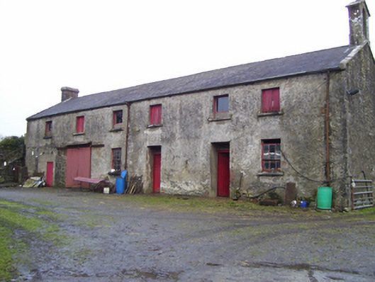 Blindwell Housefarmyard complex · 648 yd
 Bawn in BlindwellBawn · 655 yd
 IndicatedEnclosure · 934 yd
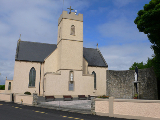 Saint Conleth's Catholic Churchchurch/chapel · 1340 yd
 CastleCastle, tower house · 2.2 mi
 European YewEuropean Yew · 2.7 mi
 Mass RockNamed rock · 4.2 mi
 Pesooge PlantationForest · 4.3 mi
 Kilcoona Round TowerHeritage attraction · 9.3 mi
 Otter IslandIslet · 12 mi
 Inis Mhic an TrírIsland · 12 mi