What is recorded here
Indicated is a possible ringfort in County Mayo, Ireland, holding a circular area twenty-four to twenty-six metres across behind a low earthen bank. It sits in undulating pasture, with a stone fence marking the southern edge where the earth has levelled. The shape suggests people once drew a line around their lives, excluding the wider world while including whatever they valued.
In undulating pasture. Circular area (24m N-S; 26m E-W), enclosed by earthen bank (H 0.9m) SW to ENE. Levelled on S where site is delimited by stone fence. Possibly a ringfort.
The above description has been derived from D. Lavelle (compiler), An Archaeological Survey of Ballinrobe and District including Lough Mask and Lough Carra. Lough Mask and Lough Carra Tourist Development Association (1994), No. 408.
Date of upload: 20 December 2013
The monument record does not grant public access. Check the route and ask the landowner before entering private land.
- What survives
- Recorded monument
Places near here
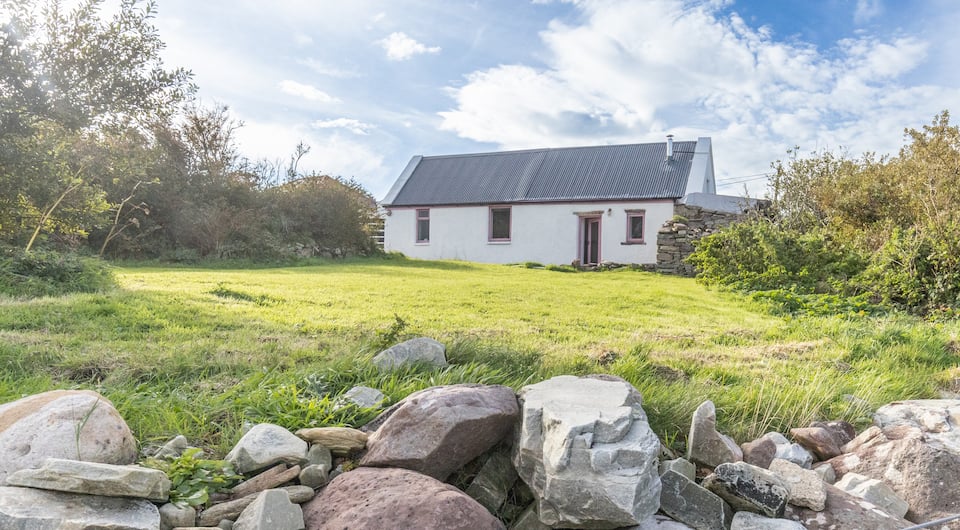 IndicatedFairy fort / earthen ringfort · 682 yd
 Enclosure in BallyjenningsEnclosure · 943 yd
 Castle in ruinsCastle, tower house · 1001 yd
 Church in ruinsChurch · 1750 yd
 Bawn in Kilquire LowerBawn · 1.5 mi
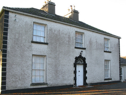 Fort Villefarm house · 1.6 mi
 European ashEuropean ash · 3.1 mi
 SycamoreSycamore · 3.6 mi
 LabbadermotCave · 4.0 mi
 Easter IslandIslet · 6.1 mi
 Bartragh IslandIslet · 6.3 mi
 School of FalconryHeritage attraction · 7.0 mi