What is recorded here
Platform in Blackcastle (St. Patricksrock parish) is a platform in Blackcastle (St. Patricksrock parish), County Tipperary, Ireland. It occupies a level oval area measuring 58 metres north to south and 18 metres east to west. A gentle scarp, 4 to 5 metres wide on the east and west sides and 10 metres wide on the north and south sides, rises 1.5 metres above the surrounding ground. Briars concentrate around the centre of the mound and extend south, where they obscure loose rock that may be masonry from a castle.
In level area of fallow arable land. Level, oval area (dims. 58m N-S; 18m E-W) defined by gentle scarp (Wth 4-5m on E & W sides; Wth 10m on N & S sides; H 1.5m). Area of briars concentrated around centre of mound and to S obscure loose rock which may be masonry from castle. Named as 'Site of Black Castle' on 1840 edition OS 6-inch map.
Compiled by: Jean Farrelly
Date of upload: 26 August 2011
The monument record does not grant public access. Check the route and ask the landowner before entering private land.
- What survives
- Recorded monument
Places near here
 Site of Black CastleCastle, unclassified · 5 yd
 Enclosure in CastleblakeEnclosure · 1191 yd
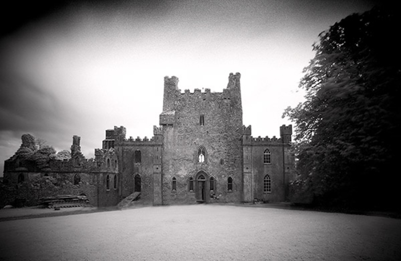 Castle Blake in ruinsCastle, tower house · 1277 yd
 Enclosure in BallydoyleEnclosure · 1376 yd
 Ballinattin Househouse · 1.1 mi
 Mora Church (in ruins)Church · 1.6 mi
 Cashel Folk MusuemMuseum · 5.8 mi
 Black mulberryBlack mulberry · 5.8 mi
 Caher AbbeyHeritage attraction · 6.5 mi
 Siege of Cahir Castlesiege · 6.6 mi
 European YewEuropean Yew · 7.5 mi
 Slieveanard NE TopMountain / peak · 8.3 mi