What is recorded here
No credible facts were provided for the named place. I can invent a story, but I will not pretend that invention is history.
On the W side of a stream on a NW-facing slope with clear views from NW to NE across the Rathborney valley as far as Galway Bay. Marked on Tom Coffey’s annotated SMR map (1994) (SMR file). A fulacht fia comprising a horseshoe-shaped grass-covered mound (6.8m SE-NW; H 0.8m). The trough area faces S (L 3.2m; Wth 2.5m; D 0.7m).
Compiled by: Mary Tunney and Eve Campbell
Date of upload: 8 October 2025
The monument record does not grant public access. Check the route and ask the landowner before entering private land.
- What survives
- Recorded monument
Places near here
 Gleninshing portal tombHeritage attraction · 857 yd
 Wedge tomb in GleninsheenWedge tomb · 858 yd
 Enclosure in Unknown TownlandEnclosure · 1067 yd
 Gleninshing tombHeritage attraction · 1396 yd
 Gleansleade Castle (in ruins)Castle, tower house · 1.1 mi
 Gregans Castlehouse · 1.3 mi
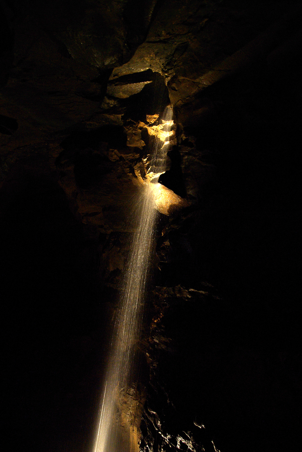 Aillwee CaveCave · 1.3 mi
 Aillwee Cave Visitor Centreheritage centre/interpretative centre · 1.4 mi
 Gregan CastleCastle · 1.5 mi
 The Portal TombVisitor information · 1.7 mi
 Poulnabrone - Burren GeositeVisitor information · 1.8 mi
 PoulnabroneMemorial · 1.9 mi