What is recorded here
Situated on a slightly undulating landscape on the lip of the W edge of the floodplain of the meandering N-S River Tolka, which is c. 40m to the E. Centre-line testing (04E0488) by R. O’Hara on the Dunboyne link road (R157) to the M3 (excavations.ie 2004:1183) identified a spread of broken and burnt stone that was fully excavated (E003025) by R. Elliott in February 2006 as Bennetstown 1 (excavations.ie 2006:1507). A crescent-shaped mound of broken and burnt stone with a charcoal enriched matrix in two large sections (dims 10m; 5m; T 0.2m: 2.8m x 1.3m; T 0.3m) was interwoven with silt layers and partly washed out. Charred grains and seeds, including nettle and fruitstones of alder were recovered from the mound, and a sample of alder produced a C14 date of 1620-1440 cal. BC.
The mound was associated with features, some pre-dating and others post-dating its construction. At the centre of the area was a concentration of stake and post-holes, some of which had been removed before they filled up with burnt mound material. Beneath the mound there were some small pits (diam. c. 0.5-1m; D 0.2-0.4m), from which environmentally rich samples were recovered but none could be identified as a trough. However, a large N-S modern service trench (Wth c. 9m) immediately to the E may have destroyed any trough.
The largest circular pit (diam. 2.8m; max. D 0.6m) post-dated an alluvial layer that covered the burnt mound. It had a step (D 0.25m) covered in a charcoal-rich layer with burnt bone and charred wheat but mostly charred hazel and alder, occupying its E half. A sample of alder returned a C 14 date of 1050-1270 cal. AD. The topmost layer included burnt clay, which might have derived from a superstructure. Another post-alluvium pit (diam. 1.48-1.6m; D 0.4m) had a clay lining with frequent charcoal and burnt clay inclusions. It would have been watertight and may have functioned as a plunging pool from metalworking, but absolutely no waste from metal was found. A sample from this produced a C14 date of 1030-1230 cal. AD, but the fill was a grey silty clay with only occasional charcoal inclusions. Only a few flint artefacts were recovered. (Elliott and Ginn 2008)
Compiled by: Michael Moore
Date of upload: 3 November 2021
The monument record does not grant public access. Check the route and ask the landowner before entering private land.
- What survives
- Recorded monument
Places near here
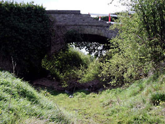 bridgebridge · 321 yd
 Enclosure in Piercetown (dunboyne By.)Enclosure · 1544 yd
 Catholic Church of Saint Peter and Saint Paulchurch/chapel · 1.0 mi
 Font in DunboyneFont · 1.1 mi
 CastleCastle, ringwork · 1.2 mi
 Caulstown Christmas Tree FarmForest · 1.6 mi
 Site of Old CastleCastle, unclassified · 2.4 mi
 Hanwood GardensHeritage attraction · 2.5 mi
 Wesley's WoodsWood · 2.6 mi
 Ash HillMountain / peak · 3.0 mi
 Graveyard in BuzzardstownGraveyard · 3.6 mi
 Church, GraveyardChurch · 3.9 mi