What is recorded here
Fairy forts are human inventions, often older than the fairy name. This is a broad oval rath, about ninety metres long and seventy-five wide, still holding a heavy earth bank though farm ridges have cut through the middle. The fairy label comes later, when people stopped knowing the first builders and gave the shape to something smaller and brighter.
The following description is derived from both the published 'Archaeological Inventory of County Louth' (Dublin: Stationery Office, 1986) and the 'Archaeological Survey of County Louth' (Dublin: Stationery Office, 1991). In certain instances the entries have been revised and updated in the light of recent research.
Date of upload/revision: 17 July 2007
Sub-circular area (int. dims. 90m E-W, 75m N-S) enclosed by massive bank with external fosse visible only at NW. Interior extensively disturbed by cultivation ridges.
The monument record does not grant public access. Check the route and ask the landowner before entering private land.
- What survives
- Recorded monument
Places near here
 Giants GraveWedge tomb · 283 yd
 Proleek DolmenArchaeological place · 354 yd
 DolmenPortal tomb · 357 yd
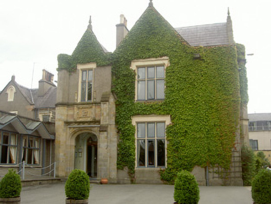 Ballymascanlan Househouse · 956 yd
 Saint Mary's Roman Catholic Churchchurch/chapel · 1102 yd
 CastleCastle, tower house · 1143 yd
 Trumpet HillMountain / peak · 1665 yd
 Drumisnagh HillMountain / peak · 1.1 mi
 Battle of FaughartMajor battlefield · 1.7 mi
 Faughart MoundCastle, motte · 2.0 mi
 Soldiers' PointHeadland · 2.1 mi
 KILNASAGGART INSCRIBED PILLAR STONE & CEMETERY with 6 CROSS-CARVED STONES: CELL NA SACART in EdenappaKILNASAGGART INSCRIBED PILLAR STONE & CEMETERY with 6 CROSS-CARVED STONES: CELL NA SACART · 2.8 mi