
What is recorded here
Kyle Burial Ground in County Kerry lost its visible boundary before the twentieth century, erasing the circular enclosure that held local dead. Map makers traced it in 1841, then marked it disused in 1939, while the land itself absorbed the change without complaint. What remains is a absence shaped like a circle, large enough to contain every person who stopped breathing near Kyle and every witness who forgot to look back.
KE010-029001- appears on the 1841-42 OS map as a circular enclosure (KE010-029002-) and is marked 'Kyle Burial Ground'. On the 1939 edition its map designation is 'Kyle Burial Ground (disused)'. No surface trace of this site can be seen today.
The above description is derived from C. Toal, ‘North Kerry Archaeological Survey’. Dingle. Brandon in association with FAS Training and Employment Authority (1995), no. 855. In certain instances the entries have been revised and updated in the light of recent research.
Date of upload: 3 August 2013
The monument record does not grant public access. Check the route and ask the landowner before entering private land.
- What survives
- Recorded monument
Places near here
 ToberreendoneyHoly well · 279 yd
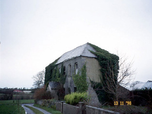 Bedford Househouse · 400 yd
 Fortification in DrombegFortification · 850 yd
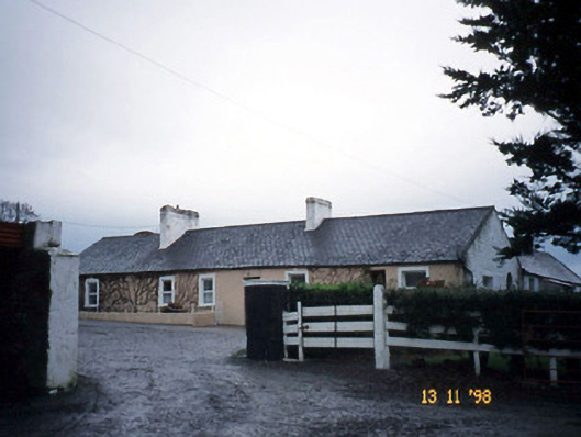 Gunsboroughfarmyard complex · 1.8 mi
 John B. Keane GroveMemorial · 1.9 mi
 Lartigue MonorailMuseum · 1.9 mi
 Bryan MacMahonMemorial · 2.3 mi
 Kerry Writers' MuseumMuseum · 2.3 mi
 Listowel Castle (in ruins)Castle, tower house · 2.3 mi
 Bawn in GlouriaBawn · 2.4 mi
 KnockanoreMountain / peak · 5.9 mi
 Siege of Carrigafoyle Castlesiege · 6.3 mi
Other information
Photo: Credit not shown in the picture search · Rights wording not checked; contact us if this picture should be removed