
What is recorded here
The following description is derived from both the published 'Archaeological Inventory of County Louth' (Dublin: Stationery Office, 1986) and the 'Archaeological Survey of County Louth' (Dublin: Stationery Office, 1991). In certain instances the entries have been revised and updated in the light of recent research.
Date of upload/revision: 17 July 2007
Discovered during road-widening in 1959. Situated on lower W slope of 'Pleasure Hill' with its entrance c. 57m from the nearest part of Bawntaaffe A (LH021-030----). The Man-made underground passage consisted of a curving drystone-built passage (L 14.1m, Wth 1.3m, H 1.6m) extending N-SW. The Man-made underground passage was cut into bedrock which formed the basal course of walling in places. The floor had been covered in mud, however, on which paving slabs were laid for part of its length. This is obviously a secondary feature.
A horse bone was found 0.5m from the N end of the Man-made underground passage during the course of excavation (NMI reg. no. 1959:704; JRSAI 1961, 101).
The Man-made underground passage was removed following investigation. (CLAJ 1958, 96-102)
The monument record does not grant public access. Check the route and ask the landowner before entering private land.
- What survives
- Recorded monument
Places near here
 Man-made underground passage in BawntaaffeMan-made underground passage · 110 yd
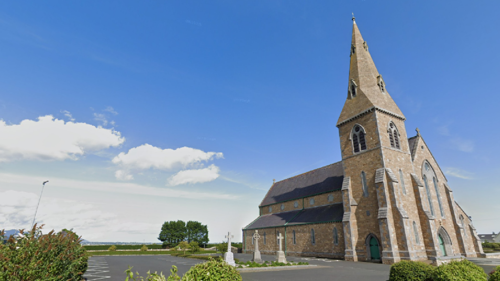 Church (in Ruins)Church · 162 yd
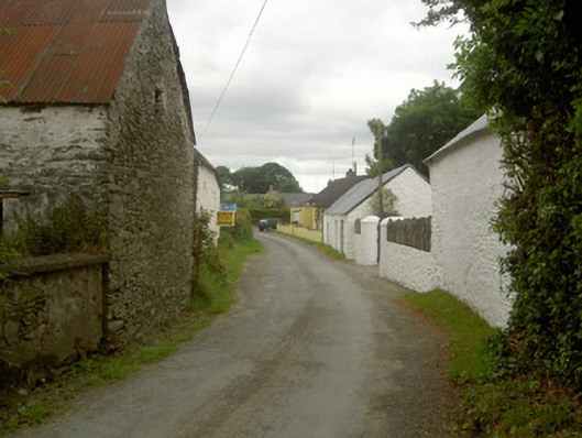 outbuildingoutbuilding · 333 yd
 MonasterboiceEarly monastic site · 1169 yd
 Stone CrossesCross, High cross · 1187 yd
 Muiredach's High CrossHeritage attraction · 1220 yd
 BarabonaMountain / peak · 1.4 mi
 Drummond TowerCastle · 1.8 mi
 CastleCastle, unclassified · 2.3 mi
 Black HillMountain / peak · 2.8 mi
 Pedunculate OakPedunculate Oak · 3.0 mi
 Quarry Garden WoodForest · 3.1 mi
Other information
Photo: Credit not shown in the picture search · Rights wording not checked; contact us if this picture should be removed