What is recorded here
In Bawnacouma, County Limerick, a diamond-shaped conglomerate rises 1.2 metres from wet pasture, its long axis pointing NNW-SSE with packing stones buried at the base. The stone stands in flat ground with poor views, yet its deliberate tilt and fitted foundation suggest it marked a boundary, a meeting place, or a warning long before the enclosure appeared 125 metres to the NNE. It is the kind of stone people would have passed without seeing, until rain exposed its shape and memory returned.
In level wet pasture with poor views in all directions. Enclosure (LI022-027----) located 125m to NNE. Surveyed by the ASI in 2000 and described as a roughly diamond shaped upright stone (H 1.2m) with its long axis orientated NNW-SSE. The rock which appears to be a conglomerate has packing stones at the base. Visible on Google Earth orthoimage taken 28/06/2018.
See attached sketch plan surveyed by the ASI and Google Earth orthoimage
Compiled by: Martin Fitzpatrick
Date of upload: 7 August 2020
Probably dating to the Late Neolithic or Bronze Age, this standing stone may have had a ritual or territorial function. No specific folklore or detailed carvings are recorded, though its alignment or placement relative to the nearby enclosure may indicate a ceremonial or symbolic relationship.
The monument record does not grant public access. Check the route and ask the landowner before entering private land.
- What survives
- Recorded monument
Places near here
 BarrowBarrow, ring-barrow · 682 yd
 Partially hachuredEnclosure · 732 yd
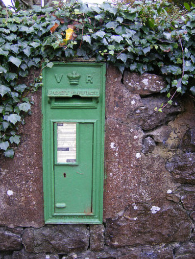 post boxpost box · 874 yd
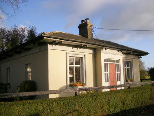 Kilpeacon Housegate lodge · 951 yd
 Villiers WellSpring · 966 yd
 Partially indicatedBawn · 1577 yd
 (Site of) Garryellen CastleCastle, unclassified · 1697 yd
 Carnane RockNamed rock · 1.7 mi
 Monasteranenagh AbbeyHeritage attraction · 4.3 mi
 Biodiversity in the Maigue CatchmentVisitor information · 5.2 mi
 European ashEuropean ash · 5.4 mi
 Dysert AenghusaHeritage attraction · 6.0 mi