What is recorded here
Bawnacouma is a hidden enclosure in County Limerick, not a distant myth but a forgotten circular place beside Kilpeacon. It appeared on the 1840 map, vanished from later maps, and may have been levelled before anyone recorded its loss. The cropmark still whispers beneath the soil, waiting for someone to stop treating the land as empty.
In gently undulating tillage with poor views in all directions, 150m W of townland boundary with Kilpeacon and standing stone (LI022-236----) 125m to SW. No surface remains visible. Depicted on the 1840 OS 6-inch map as a large circular shaped area enclosed by a scarp, not marked on subsequent editions, likely that monument was levelled between the map dates. Faint trace of cropmark of levelled monument visible on Google Earth orthoimage taken 06/02/2018.
See attached Google earth orthoimages
Compiled by: Fiona Rooney
Date of upload: 28 July 2020
The monument record does not grant public access. Check the route and ask the landowner before entering private land.
- What survives
- Recorded monument
Places near here
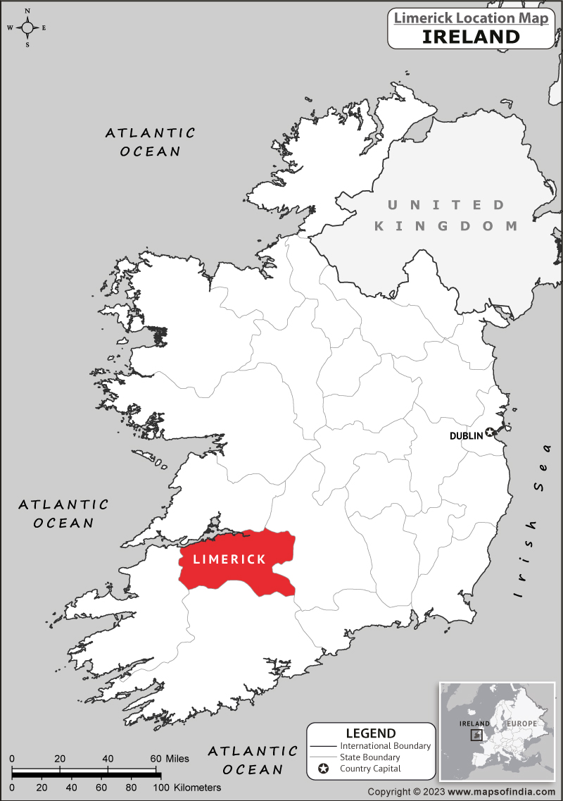 Partially hachuredEnclosure · 737 yd
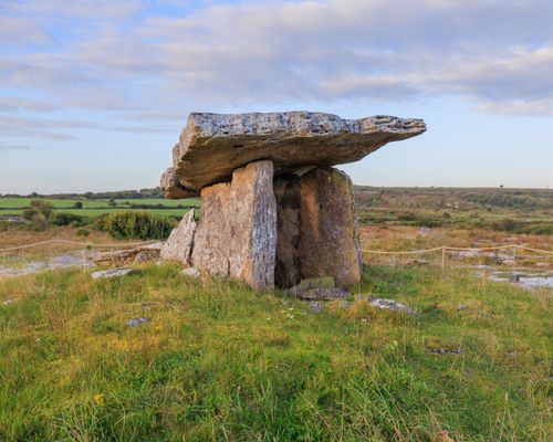 Megalithic structure in BadgerfortMegalithic structure · 747 yd
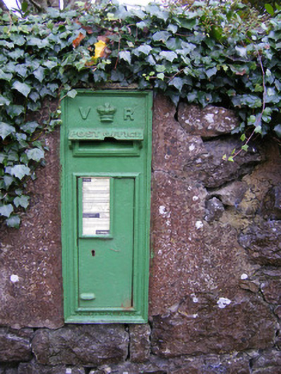 post boxpost box · 747 yd
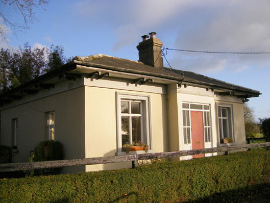 Kilpeacon Housegate lodge · 970 yd
 Villiers WellSpring · 1095 yd
 Partially indicatedBawn · 1487 yd
 (Site of) Garryellen CastleCastle, unclassified · 1.0 mi
 Carnane RockNamed rock · 1.7 mi
 Monasteranenagh AbbeyHeritage attraction · 4.4 mi
 Biodiversity in the Maigue CatchmentVisitor information · 5.3 mi
 European ashEuropean ash · 5.5 mi
 Dysert AenghusaHeritage attraction · 6.1 mi