
What is recorded here
Indicated is a fairy fort on a quarried glacial hillock in County Kildare, Ireland. Its eastern bank still rises through overgrown soil, while quarrying took the rest of the circle. The surviving earth may have marked a home, a boundary or a place of story, but the removed parts no longer answer questions.
On a now extensively quarried away glacial hillock, in tillage. Shown on the latest ed. (1910) of the OS 6-inch map as raised circular area (est. max diam. c. 65m). In 1972, a bank and fosse were noted on the E side, but the S, W and N portions of the monument were found to have been destroyed by quarrying (SMR file). A heavily overgrown earthen bank (int. H 0.8m; Wth 3.6m; ext H 1.6m) survives NE-E-SE.
Compiled by: Gearóid Conroy
Date of upload: 31 October 2013
The monument record does not grant public access. Check the route and ask the landowner before entering private land.
- What survives
- Recorded monument
Places near here
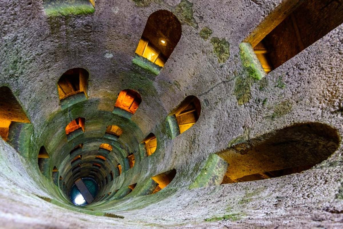 St. Patricks WellHoly well · 415 yd
 Church in GlasselyChurch · 671 yd
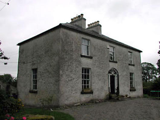 Glassely Housemiller's house · 830 yd
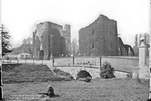 Enclosure in BattlemountEnclosure · 1664 yd
 Narraghmore WoodWood · 1.1 mi
 CastleCastle, unclassified · 1.8 mi
 CrookanurnWood · 1.9 mi
 Battle of Kilrushbattle · 2.3 mi
 Ardscull MoatCastle, motte · 2.3 mi
 Gorden Bennet Race memorialMemorial · 2.3 mi
 History of Moat of ArdscullVisitor information · 2.3 mi
 Burtown House and GardensHeritage attraction · 2.3 mi
Other information
Photo: Credit not shown in the picture search · Rights wording not checked; contact us if this picture should be removed