What is recorded here
In pasture, on gentle NE-facing slope. Two stones standing 1.83m apart. Taller stone to W (H 1.63m; 1.07m x 0.65m); long axis NE-SW. Second stone (H 1.6m; 0.8m x 0.3m) leans heavily to SW. Stone pair (CO136-017001-) lies 44m to SW. According to local information, the group was accidentally knocked by machinery in 2017. The taller stone has fallen to the east and is practically recumbent resting slightly on the smaller stone.
The above description is derived from the published 'Archaeological Inventory of County Cork. Volume 1: West Cork' (Dublin: Stationery Office, 1992). In certain instances the entries have been revised and updated in the light of recent research.
Date of upload/revision: 11 September 2018
The monument record does not grant public access. Check the route and ask the landowner before entering private land.
- What survives
- Recorded monument
Places near here
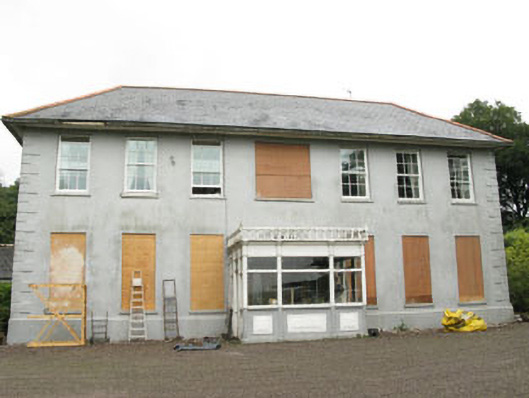 Barryshall Housecountry house · 311 yd
 Country house in BarryshallCountry house · 364 yd
 Fulacht fia in Aghamanister AND SpitalFulacht fia · 1031 yd
 Grave YdGraveyard · 1377 yd
 Argdeen Valley TrailVisitor information · 1387 yd
 Timoleague Friary HistoryVisitor information · 1399 yd
 Timoleague AbbeyHeritage attraction · 1412 yd
 Rail SignalHeritage attraction · 1433 yd
 Timoleague CastleCastle, tower house · 1.0 mi
 Kilnamanagh WoodWood · 1.0 mi
 Castle (Site of)Castle, unclassified · 1.5 mi
 Johnny Sheila MurphyMemorial · 1.9 mi