What is recorded here
On a gentle rise in wet pasture. Hachured on both the OS 25-inch plan (1897) and on the later, Cassini edition (1920) of the OS 6-inch map. Listed as 'Enclosure' in the RMP (1996). This subcircular barrow (int. diams. 22.5m N-S; 21.2m E-W) is defined by a shallow fosse (max. D 0.25m; Wth 2.4-4m) and traces of a very low outer bank (H 0.05-0.25m; Wth 2.5-5m) NNE-W. Later field banks obscure the line of the outer bank W-NNE. The reed-covered interior is slightly higher in the centre than at the perimeter.
See attachment: CL008-082----_1 Aerial view from south south-east. (Marcus Casey)
Summary by: Gearóid Conroy and Conn Herriott
Date of upload: 24 November 2022
The monument record does not grant public access. Check the route and ask the landowner before entering private land.
- What survives
- Recorded monument
Places near here
 Ballyteigue Nature ReserveNature reserve · 1345 yd
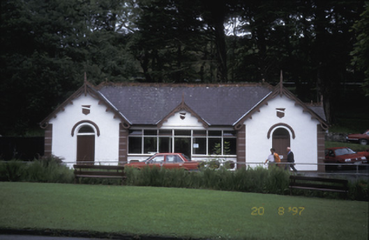 Lisdoonvarna Spabuilding misc · 1.0 mi
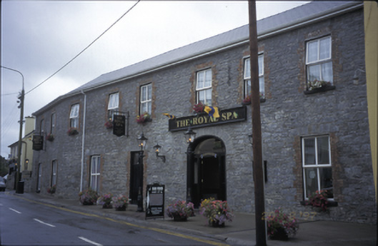 Royal Spa Hotelhotel · 1.2 mi
 LissateeaunFairy fort / earthen ringfort · 1.2 mi
 Enclosure in GowlaunEnclosure · 1.3 mi
 Site of Fanta Cas.Castle, tower house · 1.4 mi
 Site of Lisdoonvarna CastleCastle, tower house · 1.4 mi
 High CrossHeritage attraction · 2.8 mi
 Burren Centre KilfenoraVisitor information · 2.9 mi
 Poll CragreaghCave · 3.0 mi
 ( Polldonough ?)Cave · 3.2 mi
 Doolin Cave Visitor CentreHeritage attraction · 3.5 mi