What is recorded here
In reclaimed rough pasture, c. 140m ENE of the Mulkear River. Not depicted on OSi historic maps. Identified by Frank Coyne during test trenching under licence No. 98E0196 in 1998. Impressive remains of a large barrow (overall dims. 85m N-S x 50m E-W) consisting of a low circular-shaped mound (dims. 10m N-S x 8m E-W; H 0.5m) intersected at E by a townland boundary of Gortnagarde running N-S with internal waterlogged fosse and external bank with possible entrance gap at S. Timber settings were encountered in the fosse, from where a blue glass bead of Iron Age date was recovered. A worked flint flake was recovered from the surface of the central mound area. Monument preserved in situ.
See attached plan of monument taken from excavation report
Compiled by: Alison McQueen and Vera Rahilly
Date of upload: 10 July 2020
Large unclassified barrow, likely dating to the Early Bronze Age. Its impressive remains suggest it was a significant funerary monument, though its exact type and wider archaeological context remain undetermined.
The monument record does not grant public access. Check the route and ask the landowner before entering private land.
- What survives
- Recorded monument
Places near here
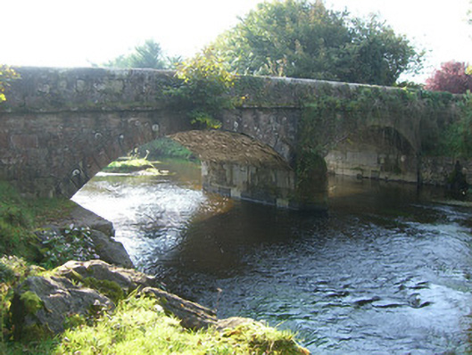 Cappamore Bridgebridge · 853 yd
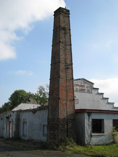 Cappamore Co-Operative Creamerycreamery, chimney · 862 yd
 CastleCastle, unclassified · 1324 yd
 Enclosure in CastlegardeEnclosure · 1689 yd
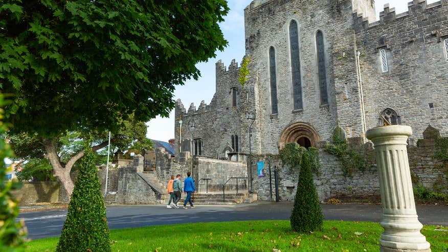 IndicatedFairy fort / earthen ringfort · 1711 yd
 Tower HillCastle, unclassified · 1.5 mi
 ToberagaddySpring · 3.3 mi
 KnockseefinMountain / peak · 3.8 mi
 Sliev Felim WayVisitor information · 4.2 mi
 Slieve FelimMountain / peak · 4.3 mi
 Graveyard in AbingtonGraveyard · 4.4 mi
 St. Patrick's WellSpring · 6.7 mi