What is recorded here
Situated on relatively low-lying ground, in wet pasture, with reasonably good views to N and S, townland boundary with Skeagh Beg lies immediately to S. No monument depicted at this location on the 1837 ed. OS 6-inch map. Depicted on the revised 1913 ed. OS 25-inch map as a small oval-shaped earthwork truncated at SW by a field boundary running NW-SE. Monument visible as a roughly oval-shaped earthwork on Digital Globe aerial photography.
Described in 1980 as a roughly oval-shaped earthwork (25m N-S; 18m E-W) defined by a low scarp with slight traces of a fosse visible from NNW-N-E, and a narrow causeway (approx. Wth 1.8m; H 0.3m) at N which may indicate an original entrance. The scarp is very poorly defined and is barely traceable from SSW-W-NW, where the monument has been truncated by a modern field fence running NW-SE. A large number of field clearance stones obscure the scarp from E-SE. The fosse is very faint and poorly defined. The interior is uneven and rises irregularly from the perimeter towards a long central mound-like rise. There are a number of small, shallow depressions and loose stones on the surface of the interior, which are due to disturbance.
Compiled by: Alison McQueen, Vera Rahilly and Caimin O’Brien
Date of upload: 19 December 2018
The monument record does not grant public access. Check the route and ask the landowner before entering private land.
- What survives
- Recorded monument
Places near here
 Rathcastle Househouse · 1303 yd
 CastleCastle, tower house · 1554 yd
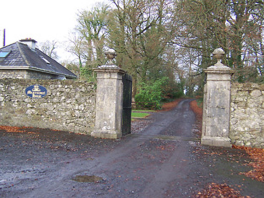 Mearscourt Housedemesne walls/gates/railings · 1642 yd
 Site of ChurchChurch · 1690 yd
 Site of AbbeyReligious house, unclassified · 1.0 mi
 Hachured, 420 ODCastle, motte · 1.0 mi
 Ancient Ring FortWood · 1.8 mi
 Sessile OakSessile Oak · 3.3 mi
 Abbeyshrule AbbeyRuins · 4.7 mi
 Craft WorkshopHeritage attraction · 5.6 mi
 Guest ServicesVisitor information · 5.6 mi
 Goldsmith Birthplace, PallasVisitor information · 5.9 mi