
What is recorded here
Situated in a modern farmyard, 34m NE of Oldtown House. Church site (WM017-053----) c. 86m to WNW. Levelled monument not visible on Digital Globe aerial photography. Annotated ‘Site of Abbey’ on the 1837 ed. OS 6-inch map in the farmyard of Oldtown House which was enclosed by a range of agricultural outbuildings. On the revised 1913 ed. OS 25-inch map, although annotated ‘Abbey (site of)’, the farm buildings at this location are no longer shown.
Levelled abbey described in 1978 as having no visible surface remains in an area that was occupied by modern farm sheds. No medieval wall or any fabric of medieval date could be identified in the range of upstanding buildings.
Compiled by: Alison McQueen, Vera Rahilly and Caimin O’Brien
Date of upload: 10 December 2018
The monument record does not grant public access. Check the route and ask the landowner before entering private land.
- What survives
- Recorded monument
Places near here
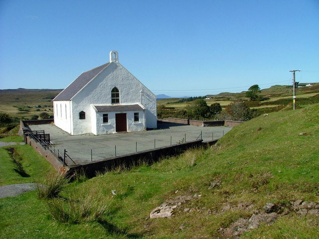 Site of ChurchChurch · 97 yd
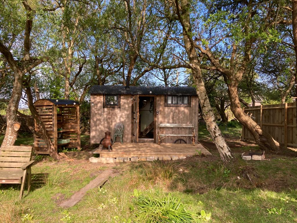 Hut site in CorkanHut site · 390 yd
 Saint Mary's Catholic Churchchurch/chapel · 604 yd
 Milltown Castle in ruinsCastle, unclassified · 1085 yd
 Rathcastle Househouse · 1549 yd
 CastleCastle, tower house · 1573 yd
 Ancient Ring FortWood · 1722 yd
 Sessile OakSessile Oak · 4.0 mi
 Abbeyshrule AbbeyRuins · 5.0 mi
 Craft WorkshopHeritage attraction · 6.3 mi
 Guest ServicesVisitor information · 6.3 mi
 Goldsmith Birthplace, PallasVisitor information · 6.5 mi
Other information
Photo: Credit not shown in the picture search · Rights wording not checked; contact us if this picture should be removed