What is recorded here
In reclaimed pasture, 45m E of townland boundary with Tankardstown, a possible ditch-barrow (LI040-055003-) lies 170m to the SW. Not marked on OSi historic maps. Possible ring-barrow listed by Grogan (1989, Vol. 2, 210) as ‘Ballincolloo 1'. No surface remains visible.
See attached Google Earth orthoimages.
Compiled by: Fiona Rooney
Date of upload: 2 June 2021
See attached ASI aerial photographs ASIAP – 344/24 on 05/01/2003.
A possible ditch-barrow or ring-barrow, likely dating to the Early Bronze Age; its significance lies in its potential contribution to understanding burial practices and landscape use in the region during that period.
The monument record does not grant public access. Check the route and ask the landowner before entering private land.
- What survives
- Recorded monument
Places near here
 Field system in TankardstownField system · 321 yd
 Enclosure in TankardstownEnclosure · 519 yd
 Corn MillWater mill, unclassified · 1.1 mi
 Baggotstown Castle (in Ruins)House, fortified house · 1.1 mi
 Ballygrennan Castle (in ruins)Castle, tower house · 1.2 mi
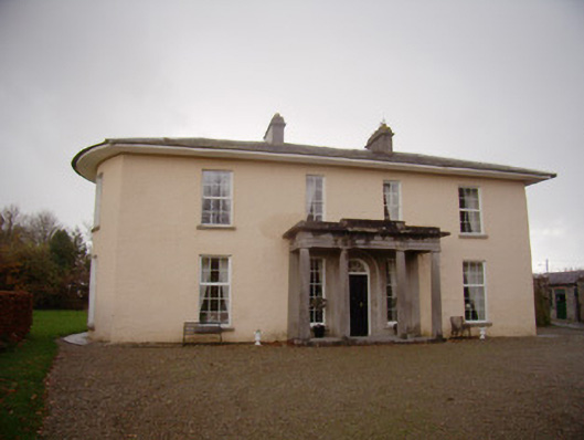 Milltown Parkcountry house · 1.2 mi
 KnockainyMountain / peak · 2.8 mi
 Flat cemetery in Knockainy WestFlat cemetery · 3.2 mi
 St Patrick's WellSpring · 5.2 mi
 Edmund's WellSpring · 5.5 mi
 Ballinvreena LoopVisitor information · 5.6 mi
 SlievereaghMountain / peak · 7.1 mi