What is recorded here
A barrow-cemetery consisting of seven barrows (WM007-014/016/017/018/015/015001-), six of the barrows are still visible with no surface remains visible of the seventh barrow. Monument surveyed in 2015 and described by McGuinness (2015, 60) as following: ‘An impressive and unusual pair of conjoined mounds (WM007-015001-), the axis along their conjoined diameters running NNE-SSW for a length of 22.5m, with possible traces of a broad shallow ditch around the pair visible on aerial photographs better than on the ground; it should be noted that the ASI account of 14/5/81 is clear that ‘No trace of any fosse is to be seen around either site’ [SMR file], although a more recent plan of the site included in the SMR file clearly shows the discontinuous remains of a ditch surrounding the mounds. Both mounds are dome-or bowl-shaped with distinct summits and a saddle between them, its lowest point rising 2.2m over line of adjacent ditch on W side; the N-most (WM007-015----) is the broader and taller of the two with a diameter of 13.5m NW-SE, a height of 0.85m over the saddle, and a height 3.1m over line of ditch on W side; the S-most (WM007-015001-) has a diameter of 11m, a height of 0.5m over the saddle, and a height of 2.6m over line of ditch on W side. Poaching on E side show the mound to be of very stony earth’.
This monument is subject to a preservation order made under the National Monuments Acts 1930 to 2014 (PO no. 2/1979).
See attached drone photograph courtesy of and © Peter Nagy
Compiled by: Caimin O'Brien based on details provided by David McGuinness.
Revised by: Caimin O'Brien
Date of revised upload: 25 January 2023
A ring-barrow, likely dating to the Early Bronze Age, part of a barrow-cemetery; such monuments are significant for understanding burial practices and social organization in prehistoric Ireland.
The monument record does not grant public access. Check the route and ask the landowner before entering private land.
- What survives
- Recorded monument
Places near here
 MonumentPenitential station · 1010 yd
 CrossCross, Wayside cross · 1057 yd
 Site of TemplefeenanChurch · 1384 yd
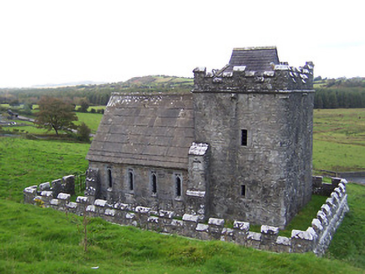 Greville-Nugent Mausoleummausoleum · 1416 yd
 European ashEuropean ash · 1529 yd
 St Feichin's MillHeritage attraction · 1549 yd
 South East GateHeritage attraction · 1648 yd
 Christians Castle in ruinsCastle, unclassified · 1.0 mi
 IndicatedCastle, motte and bailey · 1.1 mi
 Ben of ForeMountain / peak · 1.5 mi
 Castle IslandIslet · 1.5 mi
 Silver FirSilver Fir · 3.1 mi