
What is recorded here
Wayside cross (WM003-097----) located 340m to the W. Depicted as ‘Monument’ on all editions of the OS 6-inch maps. Described in 1983 as, ‘no visible trace of any monument or archaeological feature can be seen on the roadside. A high earthen bank forms the roadside boundary’ (SMR File 1983).
Compiled by: Caimin O’Brien
Date of upload: 14 August 2012
This remains an important historical record, but the official description says the monument is no longer visible or has been destroyed. The monument record does not grant public access. Check the route and ask the landowner before entering private land.
- What survives
- No visible remains or recorded as destroyed
Places near here
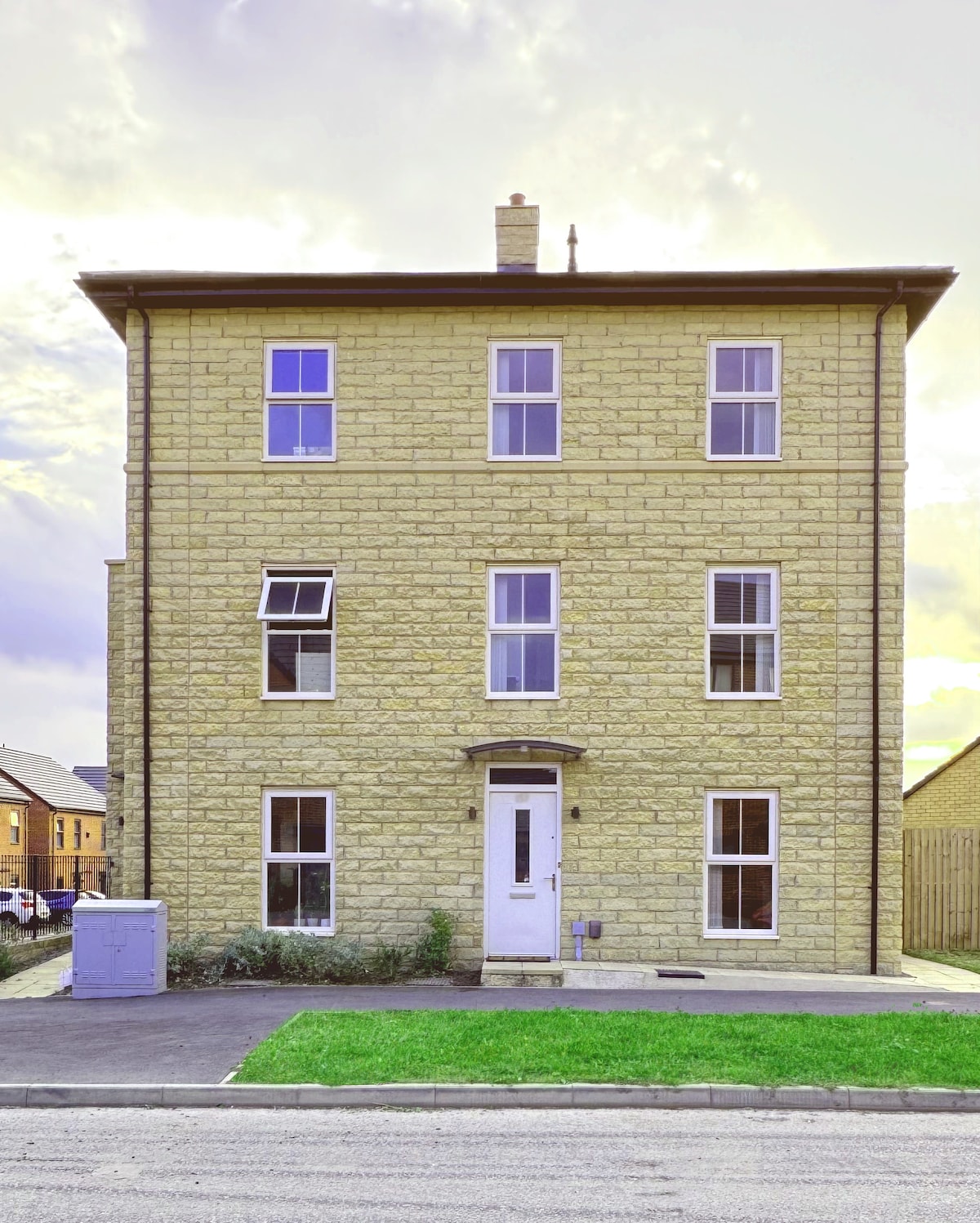 CrossCross, Wayside cross · 385 yd
 Site of TemplefeenanChurch · 1192 yd
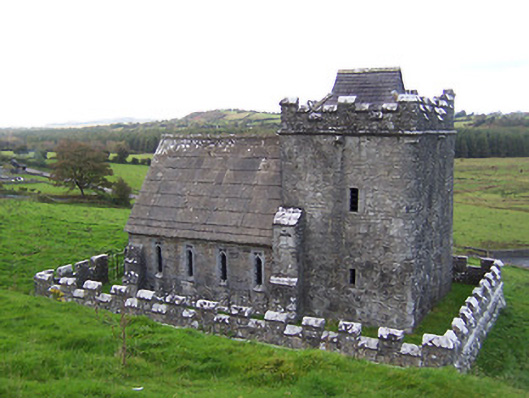 Greville-Nugent Mausoleummausoleum · 1277 yd
 Fore AbbeyHeritage attraction · 1299 yd
 European ashEuropean ash · 1312 yd
 St Feichin's MillHeritage attraction · 1366 yd
 IndicatedCastle, motte and bailey · 1484 yd
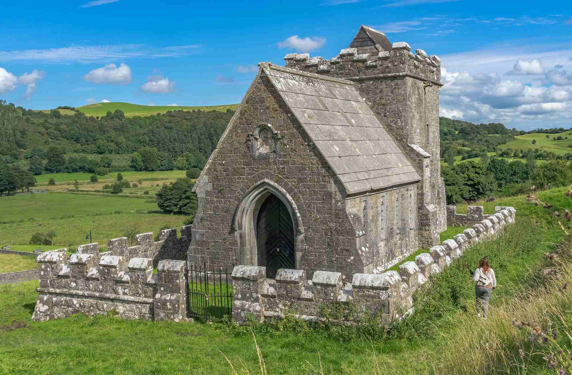 R.C. ChapelChurch · 1628 yd
 Christians Castle in ruinsCastle, unclassified · 1.0 mi
 Ben of ForeMountain / peak · 1.4 mi
 Castle IslandIslet · 2.0 mi
 Seafin HillMountain / peak · 3.0 mi
Other information
Photo: Credit not shown in the picture search · Rights wording not checked; contact us if this picture should be removed