What is recorded here
Circular earthen mound, surrounded by a fosse with an external bank (diam. c. 60m) (shown on 1908 OS 6-inch map), the cropmark of an outer enclosure, and a curving field boundary at the S and W which may be part of the original monument. The mound (summit diam. c. 2m) appears to be artificial in origin but has been quarried at the E. Small flagstone, possibly a cist capstone, is exposed on the summit of the mound. Aerial photograph (CUCAP BOC076) shows the cropmark of an additional fosse with an external bank between the enclosure and field boundary, traces of which are visible at ground level (max dims of outer enclosure c. 155m x 116m). Both fosses are shallow (W c. 5m); banks are low and wide (W c. 5m). According to Fitzgerald the site was known locally as 'Dun-fin-yeen' and the central mound was 'said to be chambered' (FitzGerald 1899-1902, 132-3). Situated in gently undulating pasture land, on natural hillock. See also Rathwalkin (KD022-021----) which is a similar unusually large barrow.
See attached image of Google Earth photograph taken 14/07/2018
Date of upload: 15 September 2016
Ring-barrow, likely dating to the Early Bronze Age. Its circular earthen mound with surrounding fosse and possible outer enclosure indicates a significant ritual or burial site, reflecting early communal burial practices in the region.
The monument record does not grant public access. Check the route and ask the landowner before entering private land.
- What survives
- Recorded monument
Places near here
 Enclosure in HallahoiseEnclosure · 1034 yd
 Enclosure in Castleroe EastEnclosure · 1563 yd
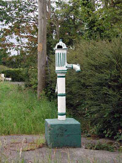 water pumpwater pump · 1575 yd
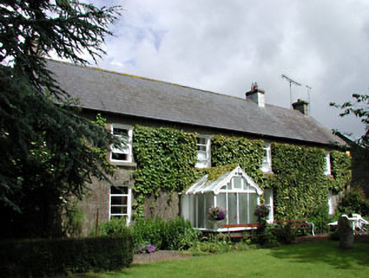 Woodlands Housefarm house · 1.0 mi
 Lorcán Ó TuathailMemorial · 1.1 mi
 CastleCastle, tower house · 1.2 mi
 Mullaghreelan WoodForest · 1.5 mi
 ProclamationMemorial · 1.5 mi
 Franciscan FriaryHeritage attraction · 1.8 mi
 Castledermot Round TowerHeritage attraction · 1.8 mi
 Kilkea CastleCastle, tower house · 1.9 mi
 Oak Park Forest ParkWood · 3.7 mi