
What is recorded here
Aerial photograph (GB96.GC.17) shows cropmark of a complex curvilinear enclosure comprising an inner enclosure defined by a fosse. An incomplete fosse on the western side suggests a second enclosing ditch. A third widely-spaced fosse delineates an outer irregular, almost pear-shaped enclosure. An annexe is attached to this outer enclosure on the southern and eastern sides.
Compiled by: Dr. Gillian Barrett
Date of upload: 08 December 2011
The monument record does not grant public access. Check the route and ask the landowner before entering private land.
- What survives
- Recorded monument
Places near here
 Enclosure in Castleroe EastEnclosure · 430 yd
 CastleCastle, tower house · 536 yd
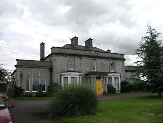 Castleroe Lodgefarm house · 588 yd
 Enclosure in HallahoiseEnclosure · 1276 yd
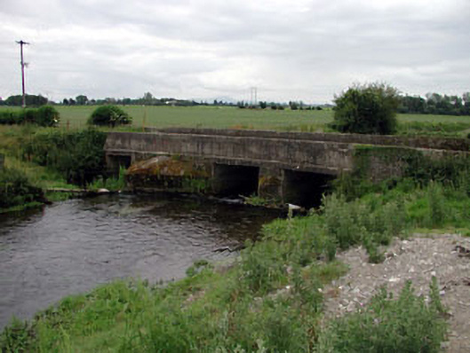 Levitstown Bridgebridge · 1449 yd
 Lorcán Ó TuathailMemorial · 1.5 mi
 Mullaghreelan WoodForest · 1.8 mi
 Kilkea CastleCastle, tower house · 1.9 mi
 ProclamationMemorial · 2.4 mi
 Franciscan FriaryHeritage attraction · 2.6 mi
 Castledermot Round TowerHeritage attraction · 2.7 mi
 Oak Park Forest ParkWood · 3.5 mi
Other information
Photo: Credit not shown in the picture search · Rights wording not checked; contact us if this picture should be removed